Forum Replies Created
-
AuthorPosts
-
 Don HatfieldParticipant
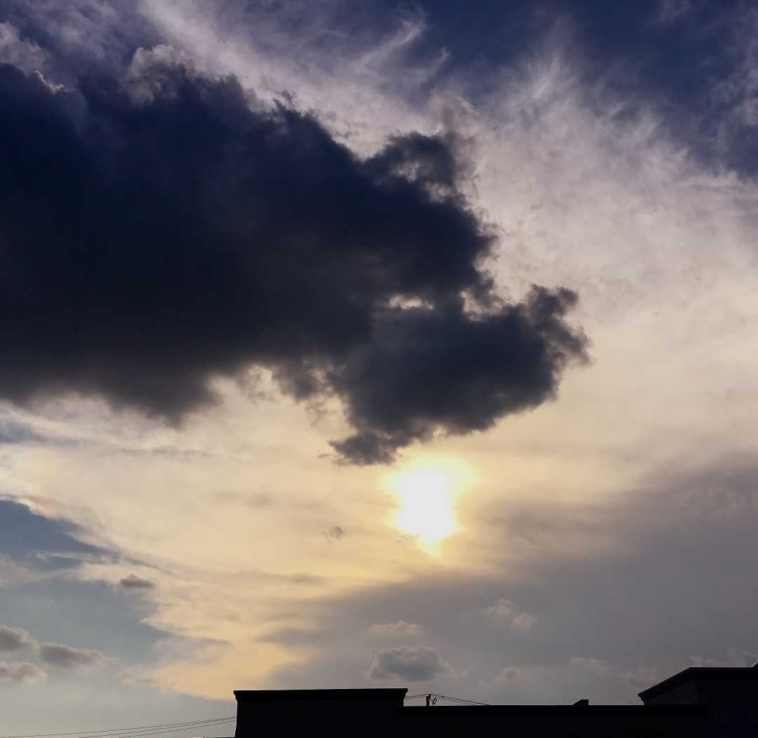
Visually, Heidi’s photo looks like a sky dragon to me; maybe a cousin (?) to the scandanavian wolf, Skoll. (Not any kind of lenticular cloud, but still a chaotic one.)

 Don HatfieldParticipant
Thanks.
I had thought that the main difference between stratocumulus and altocumulus was the height of the cloud. Stratocumulus, being nearer the ground makes the “clumps” look bigger; altocumulus, being higher, made the “clumps” appear smaller. Clear or indistinct boundaries between the individual clouds could occur in either cloud type.
Further, ICA uses a phrase ” . . . . which may or may not be merged . . . ” as part of the definition of both types of cloud.
So –
I’m confused when boundaries seem to be integral to your response. Perhaps I’m focusing on the wrong thing; can you elaborate a bit more on your definition ?
 Don HatfieldParticipant
Hans – I enjoyu this very much too, especially when I can (at least try to) learn something from someone with your experience.
You mentioned that gravity waves are gentle.
I can see that the shelf cloud is formed by something powerful. Also, I assume, that the air around a cumulonimbus/shelf is not stable, therefore requiring something sufficiently powerful to cause the observed striations.
Many articles on gravity waves use water as an example. Tossing a rock into a calm pond of water will produce waves. So will an underwater earthquake. The first is gently (gravity waves) and the second is a tsunami – I would not call this gentle, and even though the wave(s) exhibit an up-and-down motion, neither would I put that in the same category as the rock-in-the-pond wave.
Thank you for your insight!!!!
 Don HatfieldParticipant
This is what I based my ‘striation’ post on :
(from CAD explanation) – It forms as cool air dragged down. . . . lifting up the warmer, humid air near the surface
AND
The distinct and dramatic striations were likely due to the low air lifted by the winds flowing out from the storm consisting of alternating moister and drier layers.
I interpreted these to mean an up and down motion perpendicular to the motion of the (in this case) storm, which, according to my understanding, is the essence of gravity waves.
 Don HatfieldParticipant
Based on the articles I’ve read, and the conclusions I’ve come to –
I believe the “striations” in today’s Cloud-A-Day (23-June 2023) are ‘gravity waves’.
If not, I’ve missed something big.
 Don HatfieldParticipant
Somewhat helpful, although the use of “buoyancy” throws me, as does the implied restriction to noctilucent and nacreous.
Can you give an example of a ‘non-gravity’ (hopefully cloud ) wave?
 Don HatfieldParticipant
Loved Cow Fog!!! Doesn’t get more awesome than that.
September 11, 2020 at 11:21 pm in reply to: Vote for a cloud you might like – 10 photos – BBC Weather Watchers #446597 Don HatfieldParticipant
Laurence – Although I am partial to the cloudbow and the lightening/double rainbow, I would have to vote on the cap clouds photo. They are facinating to me, perhaps because, here in the flatland part of Texas, we don’t ever see anything like that. Our skies are predominately featureless, and boring, clear blue skies.
 Don HatfieldParticipant
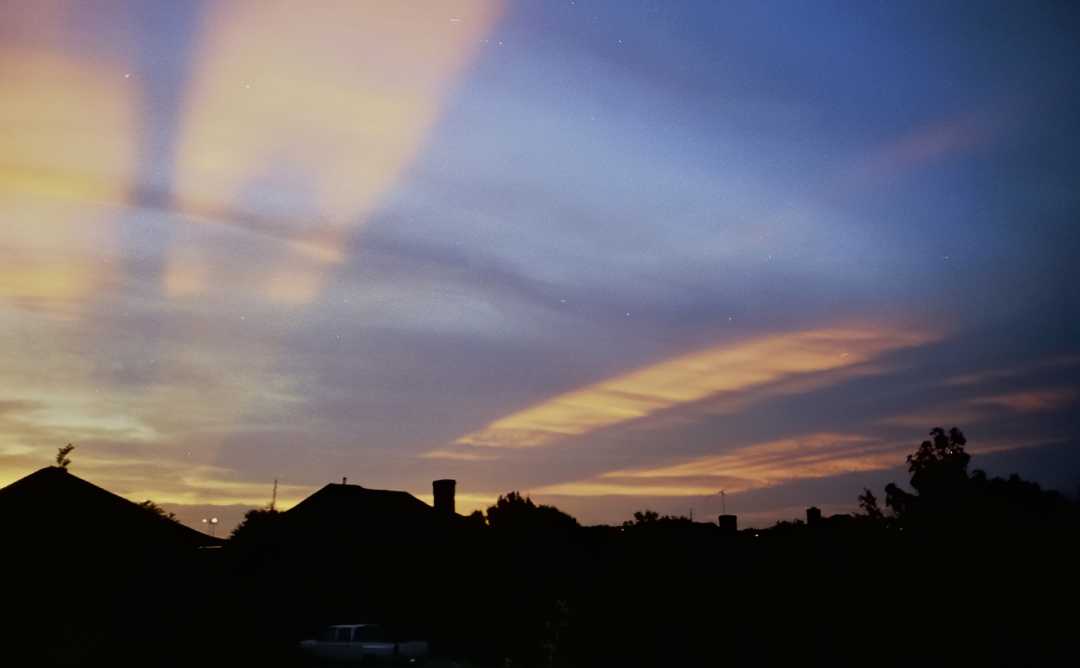
Hans – Yours is the perfect way to combine Peaches with Crepuscular rays.
Here’s another from that same, far gone era –

 Don HatfieldParticipant
From the picture, and based primarily on the reflections on the buildings, it appears that the sun is behind the photo taker (i.e. the picture looks east). Is that correct?
 Don HatfieldParticipant
My favorite cloud varies from time to time : sometimes lenticular, sometimes cirrocumulus undulatus, sometimes a pileus on a cumulus. Right now, it’s optical phenomena.
Thank you to Ruth and Hans for reminding me that sunset rays are ever and always fascinating.
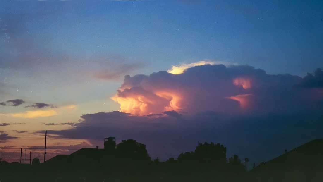
Looking through some very old – 1999 – (have I been a cloudspotter that long?) film-based photos of mine, I stumbeled upon this one.

 Don HatfieldParticipant
George has it pretty much correct, although I learned it as : When pointing at the clouds, if your index and first two or three fingers cover the clump, it’s altocumulus. Otherwise cirrocumulus.
But you have to look at clouds that are more-or-less overhead. The rule doessn’t work for clouds on the horizon.
In the photos, I personally had a hard time interpreting the super-wide angle shots. However, in the last two, it appears that the cumulus clouds are lower down than the cirrus. So, like George, I would guess altocumulus for the ‘clumpy’ ones.
Clearly cirrus, as George says, for the others.
 Don HatfieldParticipant
Debbie – You might also try a free, downloadable eBook from https://whatsthiscloud.com/ OR
Gavin’s own The Cloudspotter Guide (sorry, not free but not expensive either).
Names are addressed throughout Gavin’s book. The eBook, being shorter, addresses most names on Page 9.
 Don HatfieldParticipant
Gavin, it’s also my understanding that there is some ‘downsizing’ done by the CAS system; what is the file size limitation (for those of us who don’t have access to a pixel measurement)? Also, do you accept anything other than jpeg files?
 Don HatfieldParticipant
Sit in reverie and watch the changing color of the waves
That break upon the idle seashore of the mind
– – -Henty Wadsworth Longfellow, from “The Spanish Student” (1843)

-
AuthorPosts


