Forum Replies Created
-
AuthorPosts
-
 George PreoteasaParticipant
I think you are right, Hygge.
 George PreoteasaParticipant
Hygge,
About castellanus … I was reading this in the Cloud Atlas:
https://cloudatlas.wmo.int/species-cirrocumulus-castellanus-cc-cas.html
So if you can have castellanus on top if cirrocumulus, why not on top of a contrail?
 George PreoteasaParticipant
Looking at the cloud atlas,
https://cloudatlas.wmo.int/cirrocumulus-may-form.html
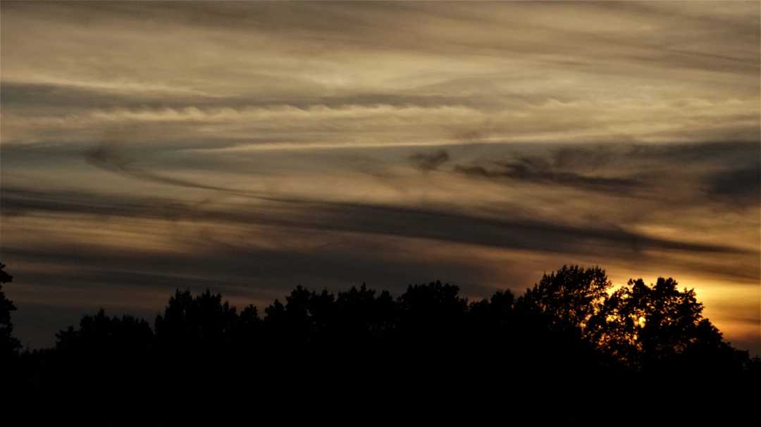
it says that persistent contrails can, over a period of time and under the influence of strong upper winds, transform into Cirrocumulus (Cc homomutatus). If you follow the link above and click on the “homomutatus” (which is a link in the cloud atlas) the picture points out some cirrus spissatus. Now, imagine what they would look like after sunset. I think that’s what you got there, Roger.
 George PreoteasaParticipant
Hygge, not sure if you’re joking, I don’t think it was Saharan dust. That would have had the opposite effect, making things dull. And I am in NY, not in the way of the westerlies that would carry that dust. Here, like in much of western Europe the flow is from the west.
Ignoring the optical effect, look at those clouds. I guess that’s what you call makerel sky?
 George PreoteasaParticipant
I had trouble uploading, that’s why they came as two posts,
Question: is it possible to upload more than one picture in one submission?
 George PreoteasaParticipant
 George PreoteasaParticipant
Hans, your last picture is very interesting. Maybe it was an actual corona caused by clouds and filtered through the sand/smoke in the air.
I also wanted to make another observation. It is quite common for Saharan sand to be picked up in storms and carried west. It is found in abundance at the bottom of the Atlantic. Sometimes it can be found in Florida, according to a meteorologist who lives there and claims he finds it on his car windshield,
So I tried to see how the air flow was at the time of your observations using ventusky.com. This is at 3000m, it is somewhat different at sea level. You can see the currents over Spain and Portugal, but there is no evident source from Sahara. The air would need time to travel these distances, but even going back a day or two, does not show a major flow from Sahara. So it may be that there was more smoke than sand or the Saharan sand traveled far out in the ocean before being picked up by Ophelia.
Anyway, this is a once or twice in a lifetime event, you are lucky.
https://www.ventusky.com/?p=45.3;-1.1;3&l=temperature-700hpa&t=20171016/12
 George PreoteasaParticipant
I was going to say, with Ophelia passing by, you should see some not so common sky conditions. Are you? I mean in person.
 George PreoteasaParticipant
Laurence, I saw your post back then. Amazing sight. But I doubt the claimed distance (600 km) mainly because of the lens one would need to use. (The Earth curvature would be a question too, but given these things are so high, it’s easy to ignore that factor.)
The text says the sprites were observed from mountains in northern France. I suspect those would be the Ardenes. A quick google maps measurement shows they are about 260 km from the English Channel. That is still quite a distance.
 George PreoteasaParticipant
The Helm cloud is really interesting, but given the local geography, I would call it an orographic cloud, very similar to a lenticularis. The texture seems the same too. And though not stated, it appears to last in place.
 George PreoteasaParticipant
On what criteria are we comparing clouds? Height, area covered, volume? I think the continuous nimbostratus in a hurricane can easily be bigger than any other cloud, except by height, A cumulonimbus can actually pierce the tropopause. But then, there can be Cb’s in hurricanes …
 George PreoteasaParticipant
I beg to differ, there is an alternative identification: UFO. They are coming …
Good shot, Steve!
 George PreoteasaParticipant
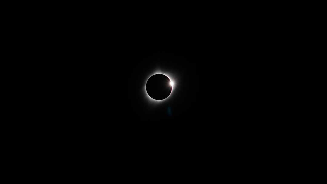
And the “diamond ring” signals the end of the magic.

 George PreoteasaParticipant
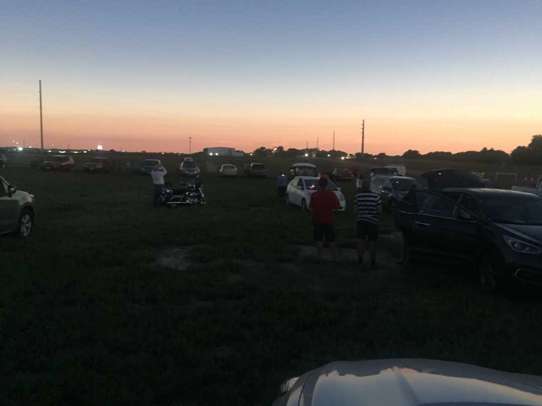
While the sky was black (one could see a few stars or planets), the horizon was like after sunset but all around.

 George PreoteasaParticipant
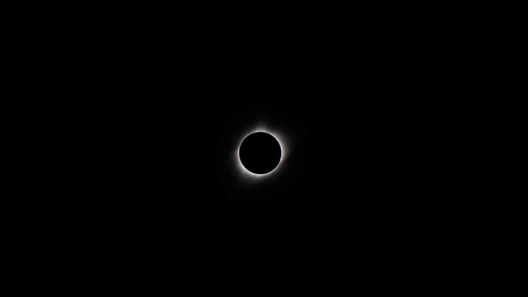
If you can enlarge it (it’s a 24 megapixels shot) you can see the solar flares as little red spots.

-
AuthorPosts


