A healthy cloud recipe
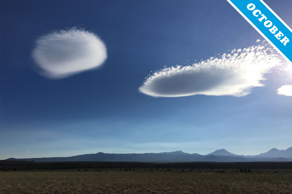
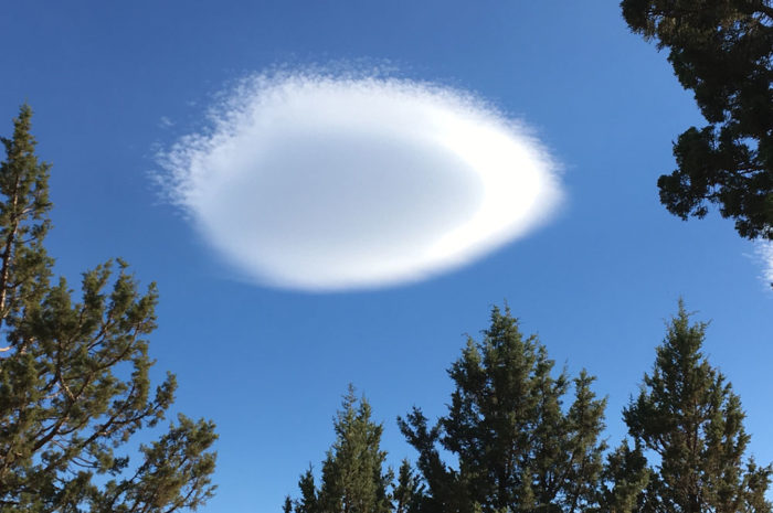
The name for a lenticularis cloud comes from the Latin for ‘a lentil’. This is because of the formation’s distinctive disk-like shape. The ones spotted here by Lee FitzGerald (Member 50,400) over Bend, Oregon, US are mid-level examples, which would therefore be known more fully as Altocumulus lenticularis, and they’ve been cooked up by those mountains in the distance.
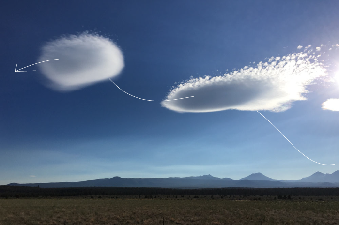
Visible on the western horizon is the Cascade Mountain Range, over which is blowing a steady wind carrying moisture it picked up out in the Pacific. This wind is being kicked upwards as it flows eastward over the mountains, the airflow developing into a wavelike path, rising and dipping in the lee of the Cascades. Though the airflow is invisible, the crests of its waves are revealed by the appearance of lenticularis clouds. Their water droplets form at the peaks where the air cools enough for its moisture to condense into droplets that persist only briefly before the air dips back down again, warms, and they evaporate away.
Though the lentil-inspired name for this cloud comes from its overall shape, sometimes parts of a lenticularis can appear broken into smaller scattered cloudlets like the ones spotted here by Lee. The effect looks like someone spilt a whole bowl of lentils, and it reveals an even subtler shift of temperatures within the flow. Each forming droplet releases a tiny amount of heat into the surrounding air as it appears. This slight warming happens whenever water condenses into droplets. The combined effect can sometimes be enough to cause parts of the airflow to lift in pockets, causing parts of the lenticularis disk to be broken up into individual cloud grains. Or would they be pulses? Either way, this lentil-within-lentil dish is surely soul food for any cloudspotter.
Altocumulus lenticularis spotted over Bend, Oregon, US by Lee FitzGerald (Member 50,400).


Thanks for your comment here, Mark.
There is an appendix about the etymology of cloud classification in the International Cloud Atlas, which is published by the World Meteorological Organisation and is the official reference work of cloud classification:
https://cloudatlas.wmo.int/appendix-1-etymology-of-latin-names-of-clouds.html
The International Cloud Atlas was first published in 1896, and has been updated every several decades since then, so its analysis of the etymology is pretty sound since it outlines the choices made when these classification terms were first coined. In this appendix, the cloud term ‘lenticularis’ is defined in terms of a Latin root as follows:
Lenticularis:
From the Latin ‘lenticularis’, derived from ‘lenticula’, diminutive of ‘lens’ meaning a lentil.
In other words, in the context of Latin ‘like a lentil’ and ‘like a little lens’ are effectively interchangeable. We tend to follow the lead of the International Cloud Atlas and use ‘lentil’ – as much as anything because it is the simpler of the two. I hope this helps clarify our use of ‘lentil’ here. Thanks again for your thoughts on this!
These waves clouds are the source of lift for glider pilots. The up going part of the wave cloud is stationary to the ground while the wind velocity may be in the order of 60 mph.
Heights of over 40,000 ft have been ACHIEVED with climb rates of 2000 fpm. My best height was 32,000 ft in NZ.
I always understood that the Lenticular cloud got its name from Greek, Altocumulus lenticularis = “like a lens” because of the lens shape.
Wikipedia says it’s from lentil but this is not widely accepted as the correct origin of the name. ( I never trust Wikipedia anyway).
Look at the Met Office explanation, a much more reliable source of information!!