Forum Replies Created
-
AuthorPosts
-
 Bill StanderferParticipant
Michael, to me that looks like a winter scene with trees covered in snow and hills in the background.
 Bill StanderferParticipant
Kris, that’s an interesting question. As a pilot, I think about what it’s like to fly around and through them. The beautiful structures and also whether they’ll treat me nicely if I poke into them. I teach aviation meteorology at a local college and have taught classes to severe weather spotters, so I also look at them from a practical point of view and how we have to interact with them in the air or on the ground. From the ground, I think about the incredible power some clouds have, how they bring the rain to make things grow, but also how they can be very destructive with tornadoes and hail. As a photographer, I love the shapes and colors they show, how the sun plays off of them from morning sunrise to evening sunset. Clouds have always fascinated me and I’m still looking up to see what they’ll bring.
 Bill StanderferParticipant
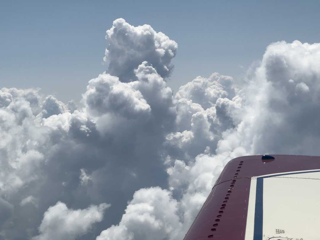
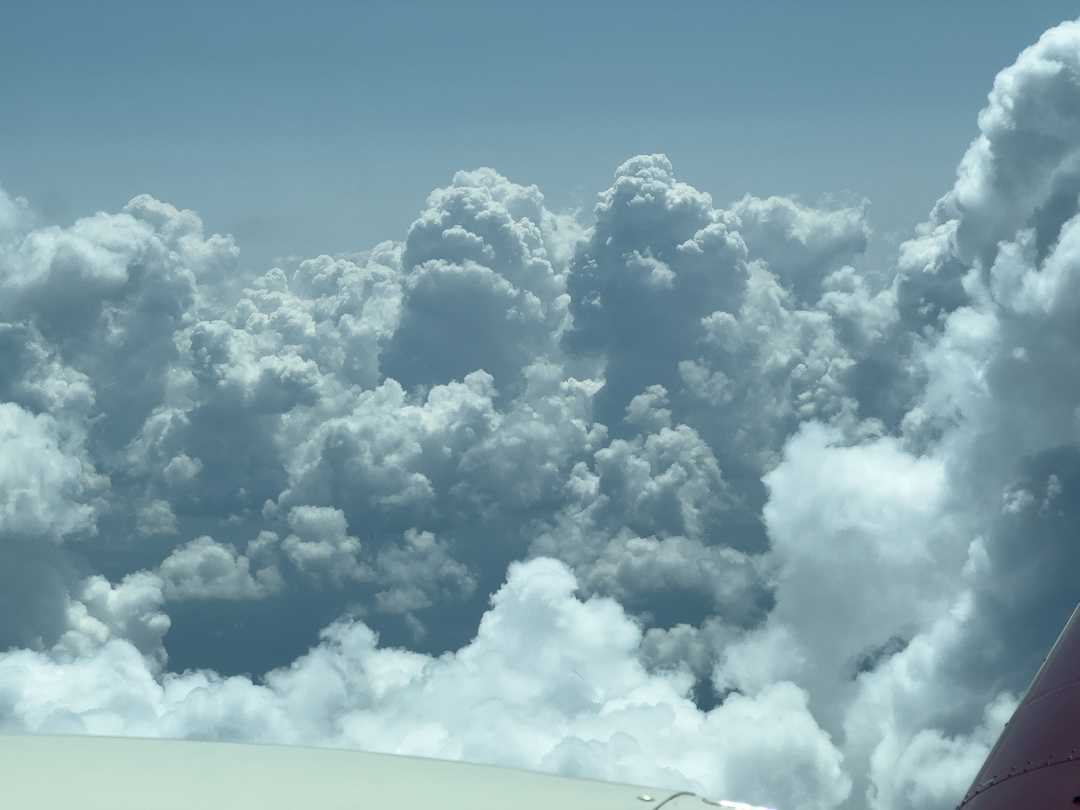
A couple of shots of developing thunderstorms over central Wisconsin this afternoon. Fortunately, there was enough room to get around all the buildups on the way into Green Bay. The cumulus are beautiful from above as long as you can stay out of them. They’ll really throw an airplane around if you venture into one.


 Bill StanderferParticipant
Hans, small indeed. That storm was probably 50 miles across from one side of the anvil to the other. Impressive to watch, but I want to do it from a distance!
 Bill StanderferParticipant
Another big thunderstorm last evening over the southwest corner of the Nebraska panhandle, about 70 miles northeast of me. This one went up to 60,000′ and produced at least one tornado.

 Bill StanderferParticipant
Ruth and Keelin, thanks for the comments. I love to fly around buildups like that before they get too big when I can stay out of them. You can almost literally reach out and touch them, but they are pretty bumpy inside. Once they turn into thunderstorms, though, I give them a wide margin.

 Bill StanderferParticipant
A look toward the Colorado Front Range foothills covered in emerald green after an uncharacteristically wet spring. Above is the bottom of a 40,000′ cumulus just before it opened up for yet more rain this afternoon. Just north of Fort Collins, Colorado.

 Bill StanderferParticipant
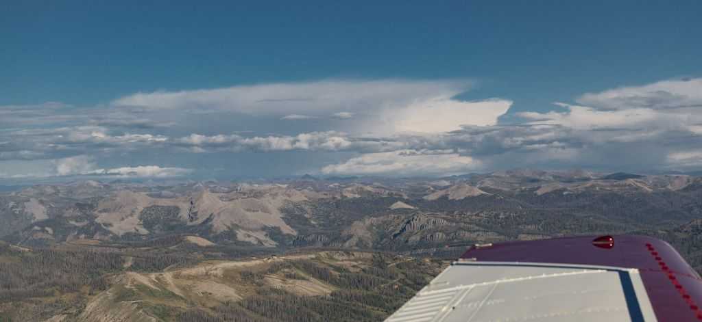
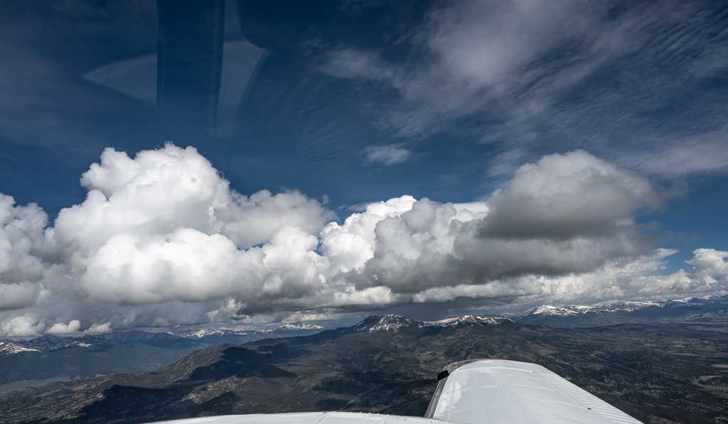
Thunderstorms building over the Mosquito Range in the Colorado Rockies yesterday from 12,500′. In the distance is rain falling over Leadville, Colorado. On the left are the two highest mountains in Colorado, hidden in the clouds.

 Bill StanderferParticipant
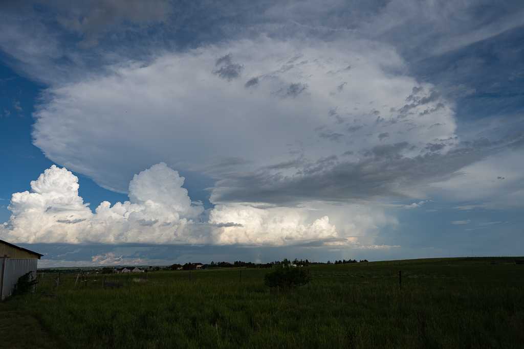
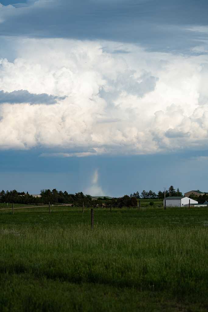
Some severe weather on the Colorado Front Range east of Fort Collins a couple of days ago. The wide view shows the cumulonimbus with a little dust being kicked up in the lower center part of the photo. The close up view shows a landspout (a non supercell tornado) in open country which, as far as I know, caused no damage. We see a lot of landspouts in this area during thunderstorm season.


 Bill StanderferParticipant
Michael, I really like the very threatening building cumulus in your image. I especially like that you also caught a little pilius at the top of one of the buildups. It looks like the folks on the ground might be getting wet.
 Bill StanderferParticipant
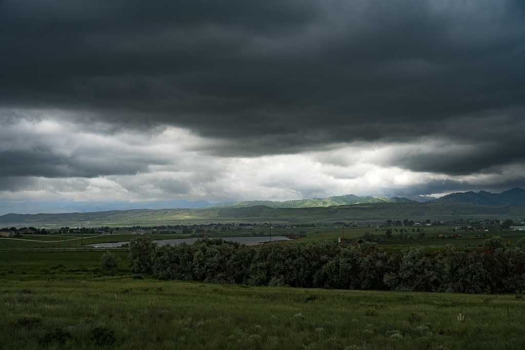
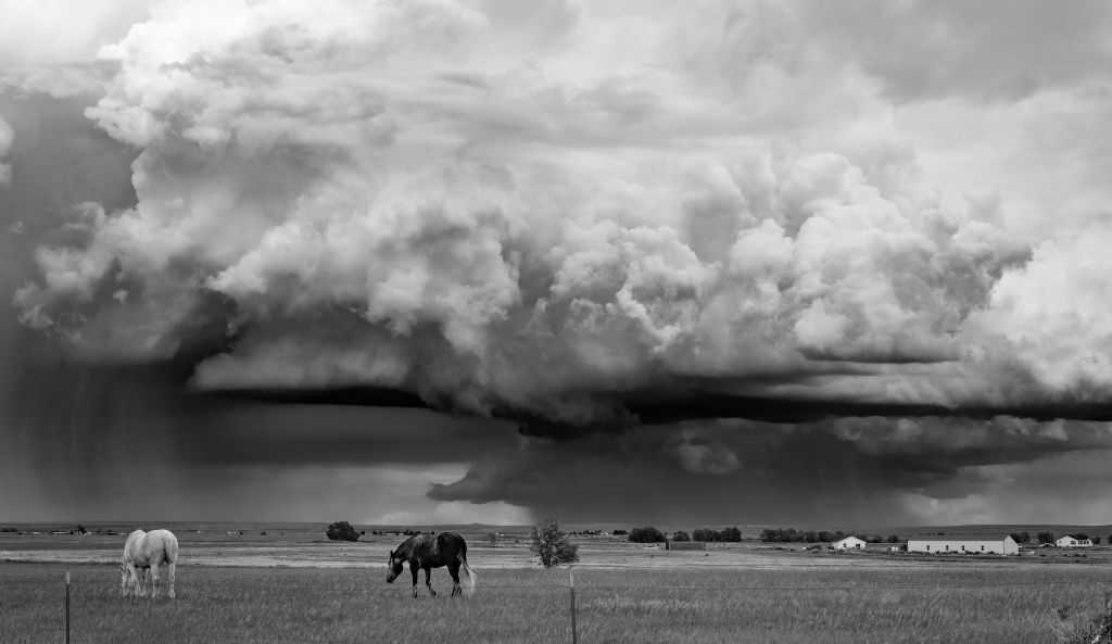
As a new member, I’m enjoying seeing the work of everyone in the group. I’m especially fond of black and white photography, so I’ll add one of mine from a couple of years ago. A thunderstorm in Weld County Colorado, north of Greeley. I’m looking forward to getting some fresh images when our thunderstorm season gets going in a few weeks.

-
AuthorPosts


