Forum Replies Created
-
AuthorPosts
-
 Michael LerchParticipant
Nice capture George!
Arizona Cloudscape#80
 Michael LerchParticipant
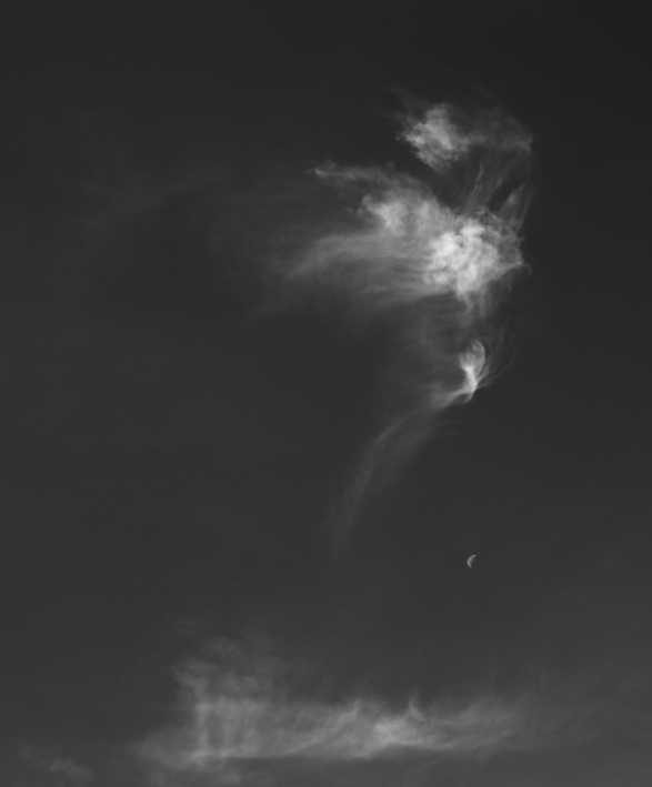
ArizonaB&W#138 Over the Moon
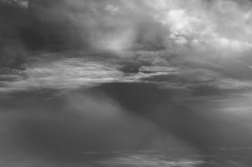
Michael LerchParticipantArizonaB&W#137
Michael LerchParticipanthalf and half
Arizona Color#101
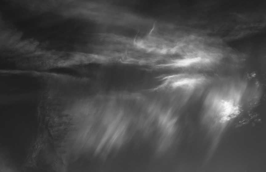
Michael LerchParticipantyea just hangin around and whatnot…
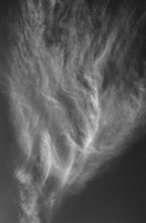
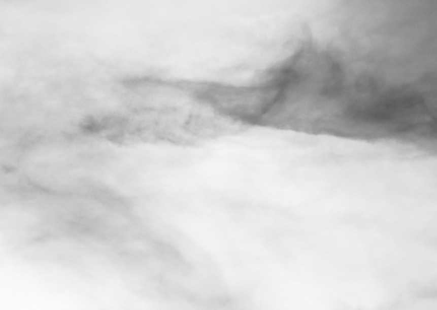
ArizonaB&W#137 ..a Virga Spell
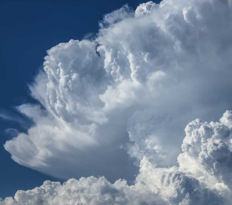
Michael LerchParticipantArizona B&W#136
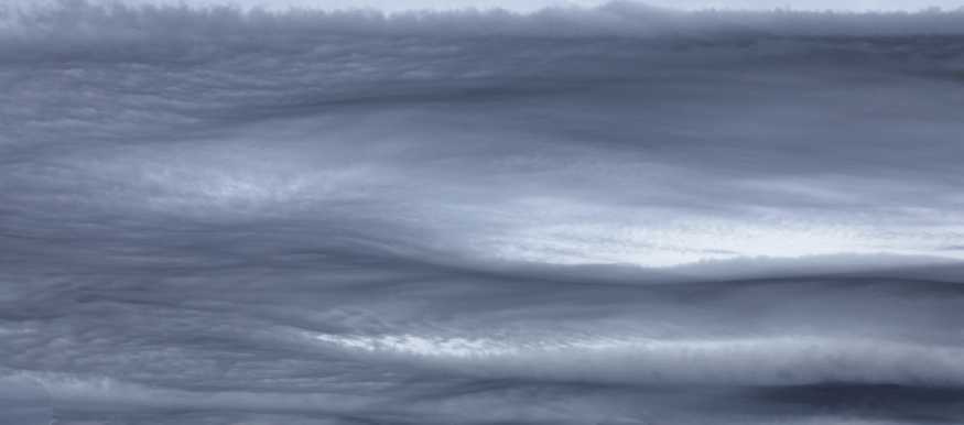
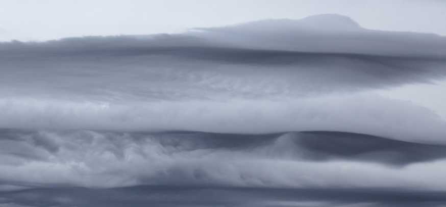
Michael LerchParticipantThis was a Aperitas event so I’m going with Asperitas Undulatus but it seems way to well organized for Asperitas..??
Arizona Color#100
Michael LerchParticipantIntriguing composition Hans!
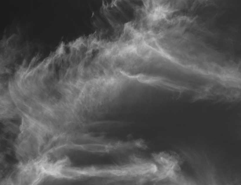
ArizonaB&W#135
Michael LerchParticipantAnother from the Nimbus event
Arizona Cloudscape #79
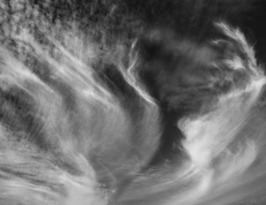
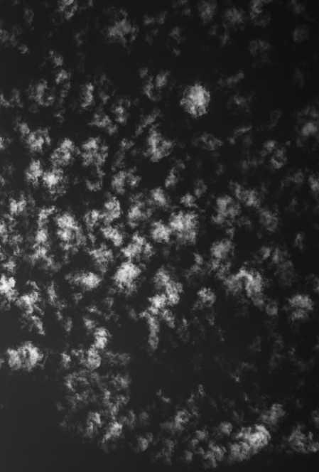
Michael LerchParticipantMy goodness, nubbins is an actual word..Long ago somebody gave that as a nick name of a friend. Since then I thought it was slang..Got me there Keelin. Anyway, I’m drawn to the black “star” by the white linears.
ArizonaB&W#134
Michael LerchParticipantThanks hans and keelin! The green flash is believed to be the tale tell sign of Hail. I say flash but the faint emerald green lasted more than a flash. Looking at my photos timing it looks close to a minute that I photographed knowingly of the green. Green showed up in a few other shots in different areas of the storm as well. Below is a shot ( no green) of the clouds going Nimbus.
Michael LerchParticipantThe greenflash shot I was talking about above.
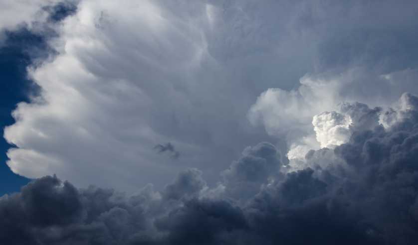
Arizona Cloudscape#77
Michael LerchParticipantArizona B&W#133
Michael LerchParticipantYes Keelin I like the contrasts there in F&F..Very active for the mind…That is fun.
I see clouds as having infinite potential. I try to free up my vision to see potentials and if I do see interesting developing, to take the shot with a fair amount of trust that nature will be evident. So it is with positive and negative space balancing especially in B&W.By taking tons of pictures a photographer develops that eye for interesting along with a knowledge of balancing the positive and negative space . Directing the eye thru a photo is almost an automatic for me. I still like to experiment. The shot below , I play with the positive and negative a bit, interchange their roles for some fun. Again, clouds seem to afford for a lot of experiment and reversal of norms. From one moment to the next a cloud can be dark and then bright.
Michael LerchParticipantHans..No, the pic I sent in has a green flash. The photo of pileus and velum I sent in recently. Anyway, below is a B&W cloudscape
Arizona Cloudscape#76
-
AuthorPosts