Forum Replies Created
-
AuthorPosts
-
 Michael LerchParticipant
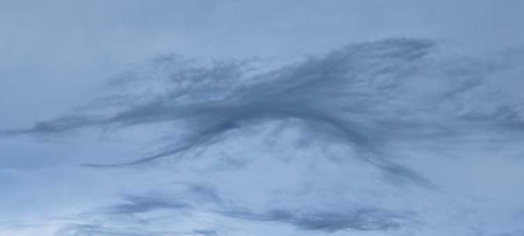
Perhaps the thinnest Asperitas I’ve seen
 Michael LerchParticipant
Thanks Hans..Thats the fun, to get our eyes to sense the same way a finger tip feels!
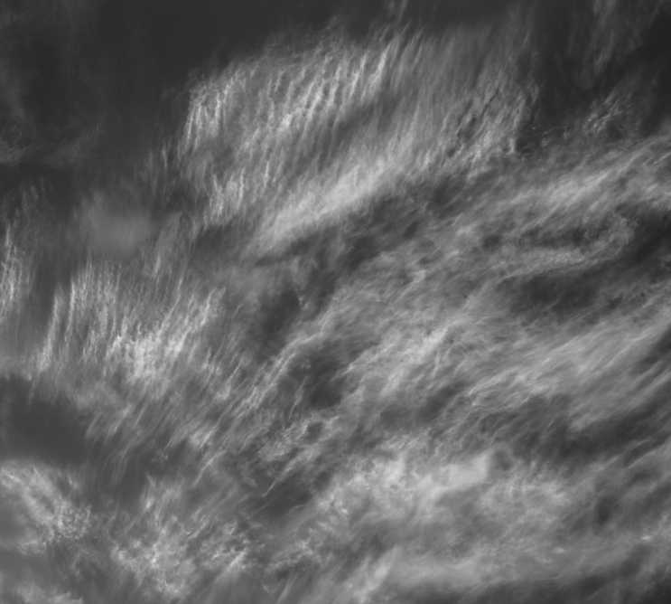
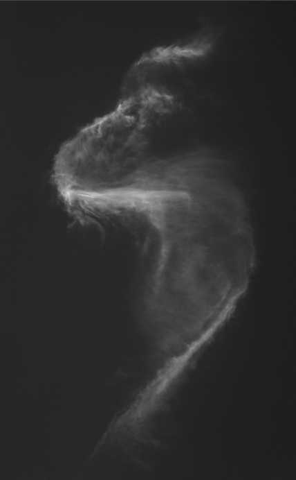
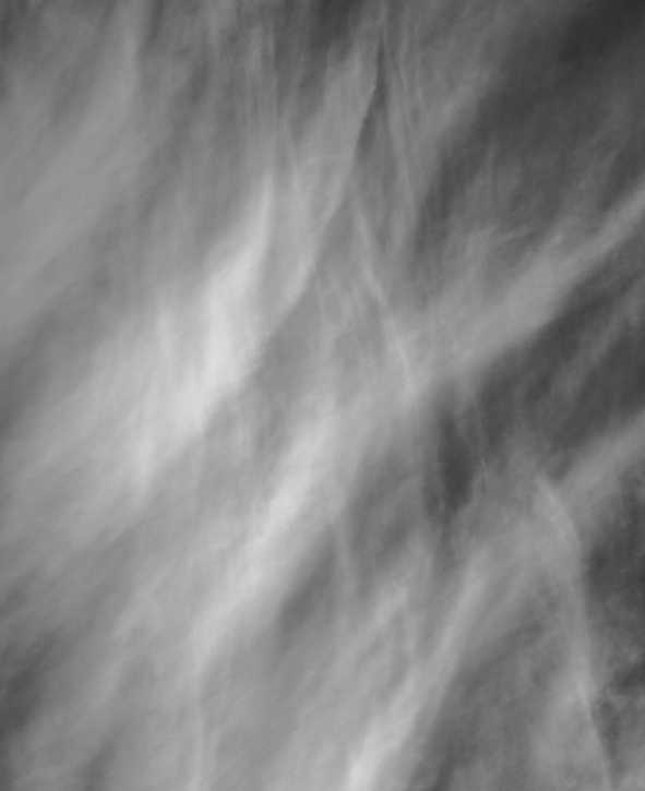
Arizona B&W# 125
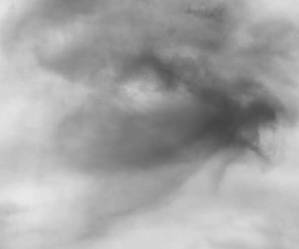
Michael LerchParticipantArizona B&W# 124
Michael LerchParticipantHow cool is that?!! Laura I hope a new dimension of “Awesome” is yours from experiencing the Asperitas pictured here. Heck maybe Awesome is too small a word! Thanks for the photos!
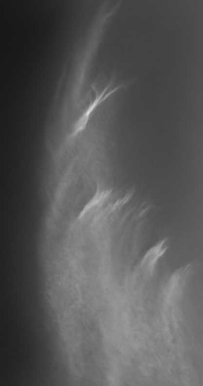
Michael LerchParticipantArizona B&W#123
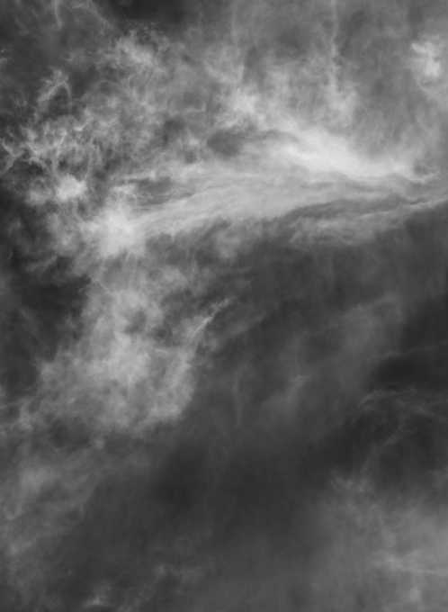
Michael LerchParticipantArizona B&W#122
Michael LerchParticipantThank goodness I have the clouds to escape to..
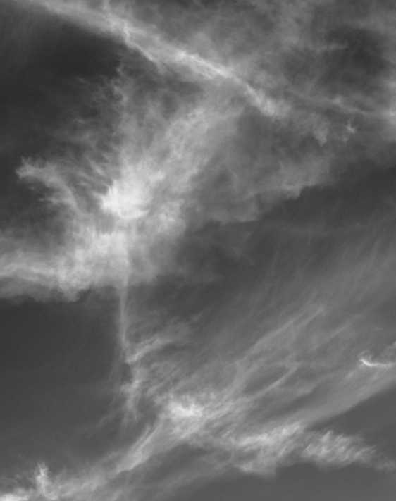
Arizona B&W#121
Michael LerchParticipantArizona B&W#120
Michael LerchParticipantTwisting the rain out of a cloud
Michael LerchParticipantIt appears functionality has been restored! In celebration I post the below adding to the fine and fun body of work here!
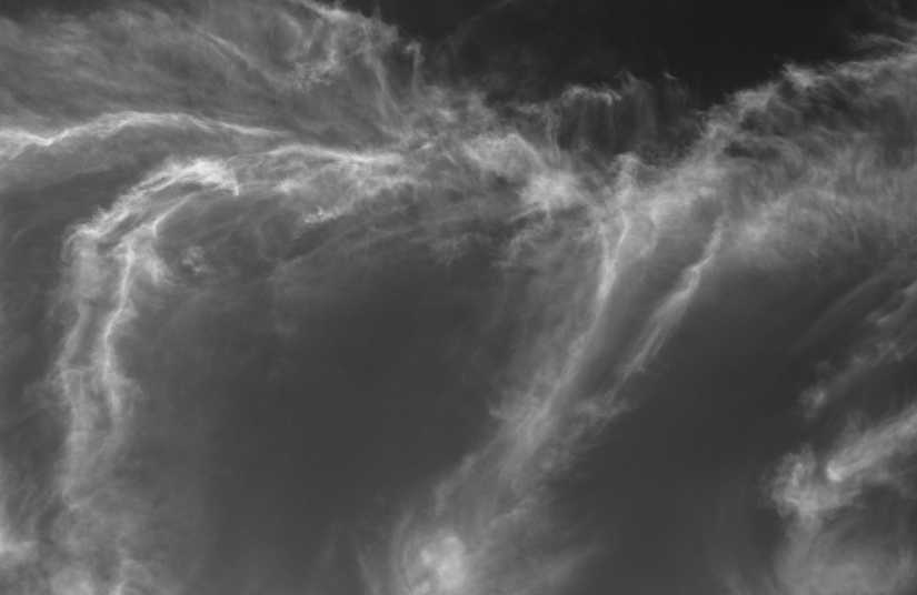
Arizona B&W#119
Michael LerchParticipantHans ..When the gallery’s changes began earlier this week, my problems began. The member count on home page hit 44,000 but now it shows 43,978. Yesterday it showed 43986..Its like im going back in time here. I cannot ” like” a gallery photo. As said, there is no drop down for me to download pics with. There is no Cloud logo to click on to return to home page…Firefox, Safari, don’t matter. Seems changing the Gallery also changed other things without realizing it. I haven’t changed anything . I clear history once a day. Its in the ” developers” hands to fix.
M.E.L
Michael LerchParticipantAmongst many issues,,I am no longer being offered the ability to download pics here, Other things here no longer work for me either. So until things get fixed,,yes I tried another server, enjoy the clouds!
MELMichael LerchParticipantHey Hans!
Arizona B&W#118
Michael LerchParticipantArizona B&W#117
Michael LerchParticipantArizona B&W#116
-
AuthorPosts