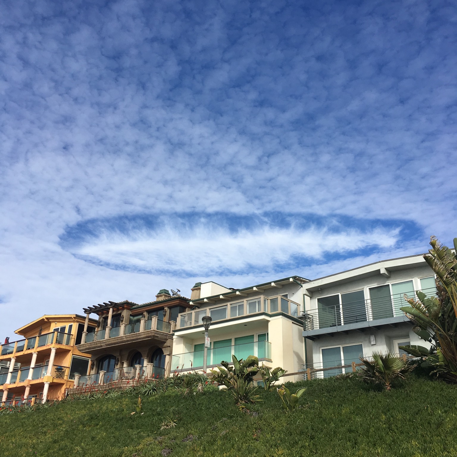
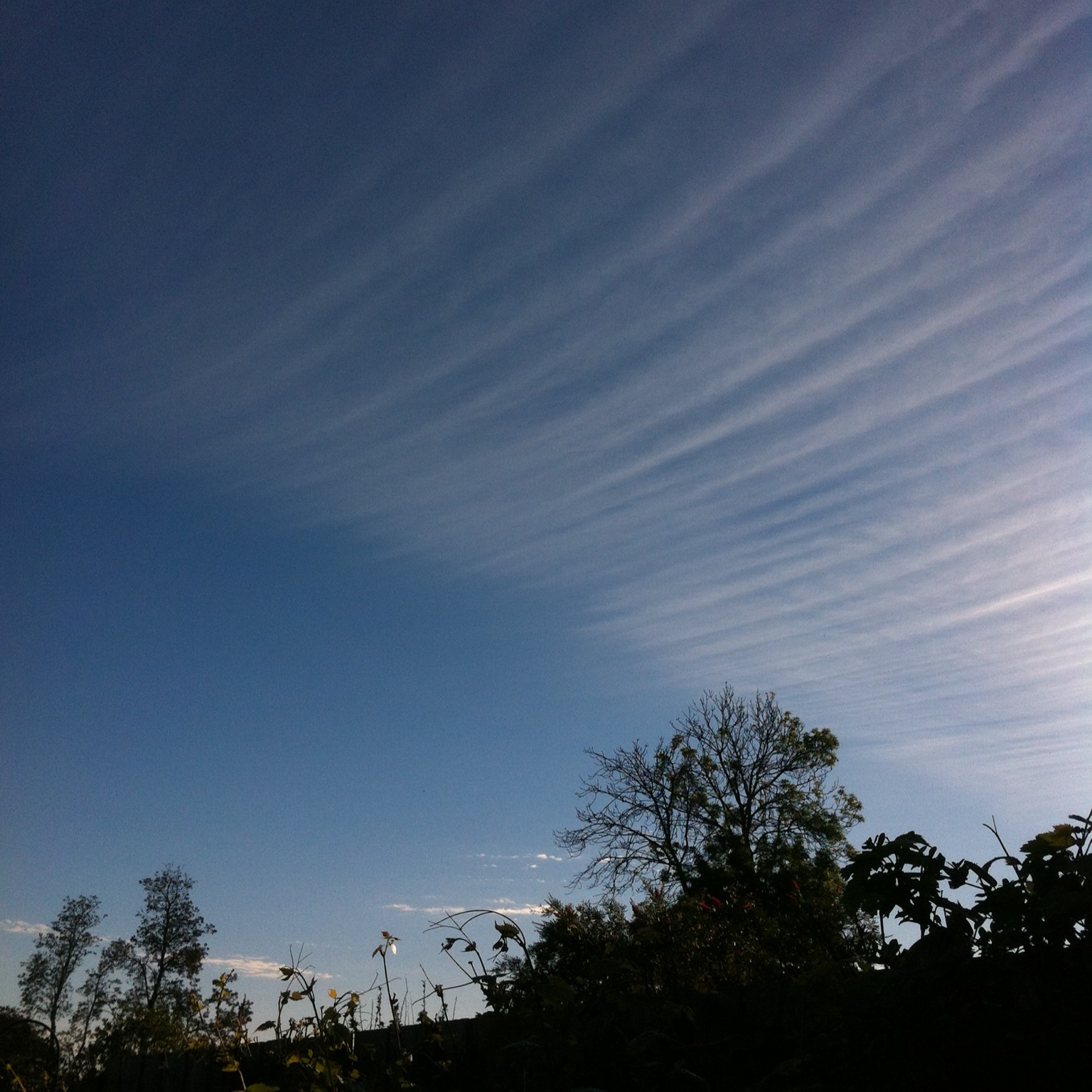
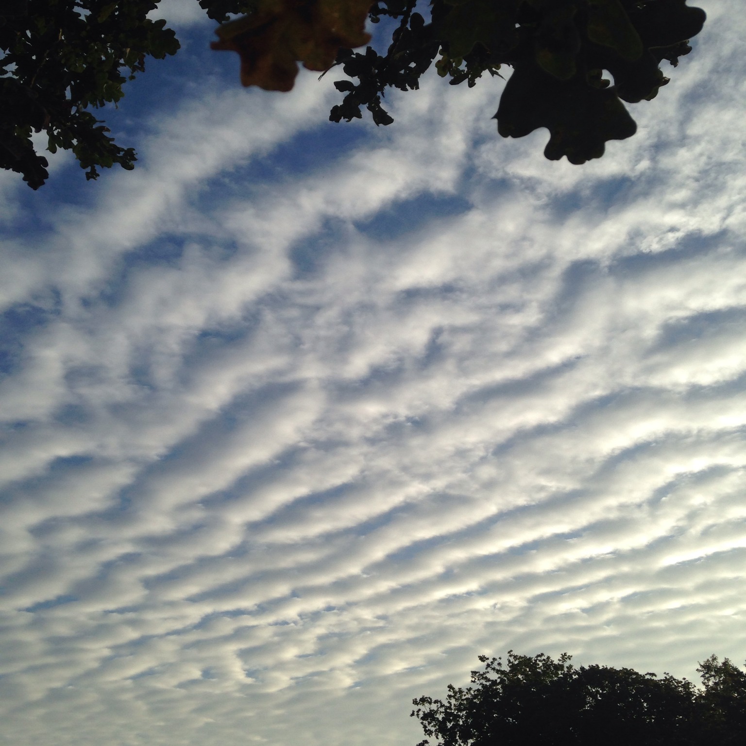
This form of the high ice-crystal cloud Cirrus is named from the Latin for ‘having vertebrae’ because its icy streaks fan out like ribs from a central spine to resemble the skeleton of a fish.
Vertebratus is a rare form of Cirrus, which is associated with the ribbons of rapid, high-altitude winds known as polar jet streams. These jet streams encircle the globe over the mid-latitudes, up near the level of Cirrus clouds. They are what drive weather systems from west to east, and though they are often invisible, their ever-shifting sinuous paths can sometimes be revealed in the appearance of high clouds. Cirrus vertebratus develop where the winds in one part of the jet stream become especially rapid, known as a ‘jet streak’.
The central spine of skeleton of cloud is aligned with the jet streak, but it forms to one side of it. Here, air lifts to fill a strip of low pressure formed in the wake of air flowing in to join the accelerating winds at the start of the jet streak. Ice crystals form in this strip of rising air. The ones in the spine of the cloud, where air is rising most, can trail behind as it ascends into slower winds above the core of the jet streak.
If you ever manage to spot a classic Cirrus vertebratus formation, consider yourself one lucky cloudspotter. This fish skeleton is one to cherish not throw in the bin.
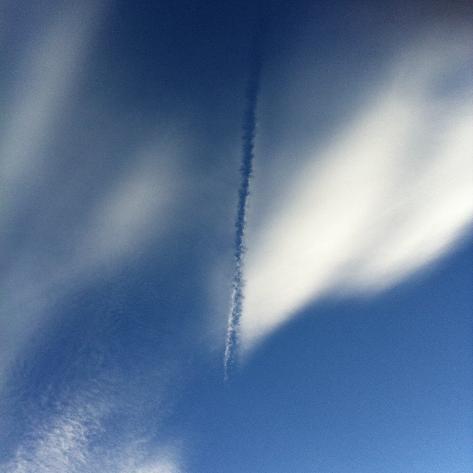
Similar formations can develop a little more frequently from aircraft condensation trails. Here, the spine of the cloud begins as a contrail that happens to be aligned to the flow of the high winds, and whose water droplets freeze into ice crystals that fall below into slower, moister airflows. When a vertebratus formation develops from a manmade cloud like this, it is classed as Cirrus vertebratus homogenitus.
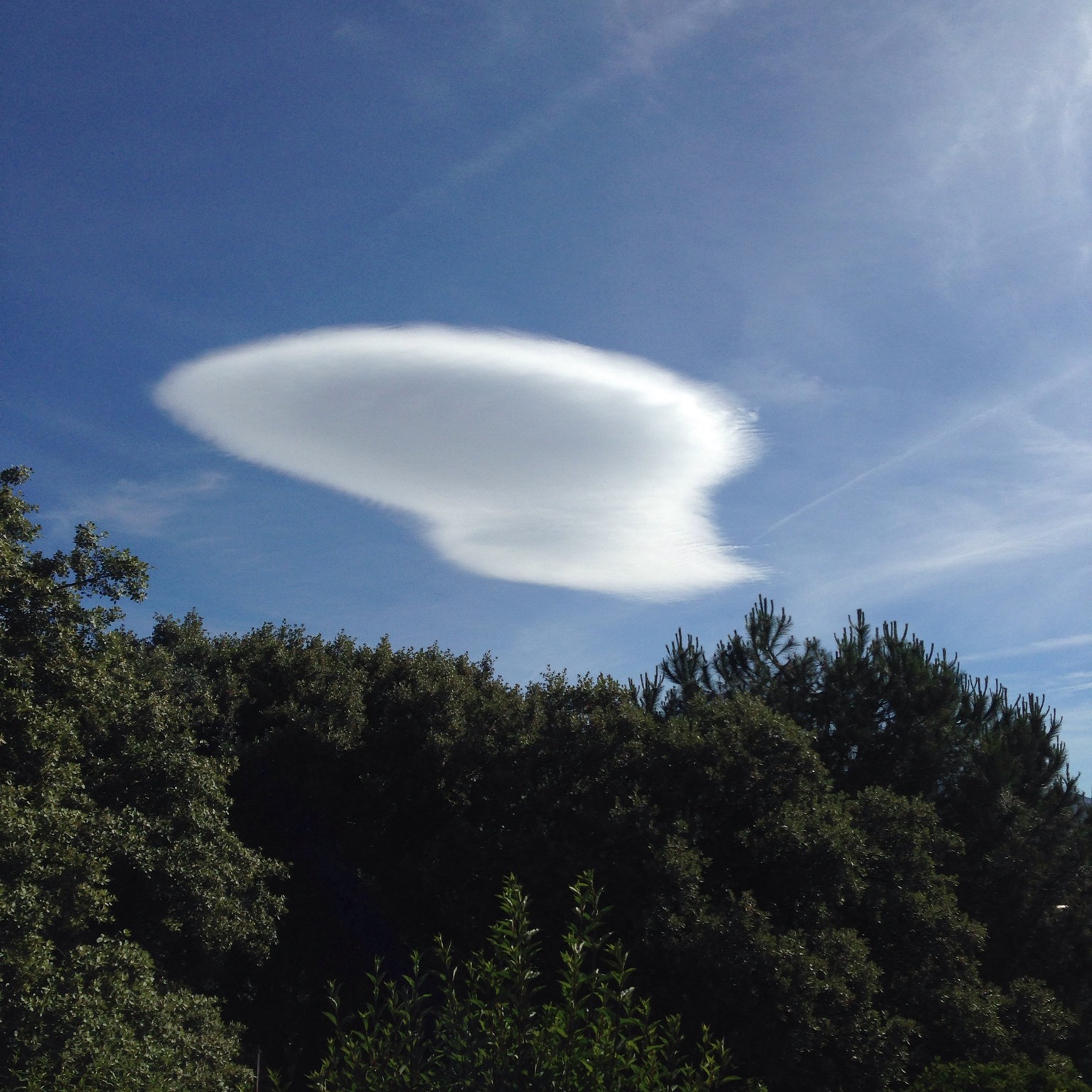
Image: Spotted over over the Catalina mountains, Tucson, Arizona, US by Richard Friedman.