
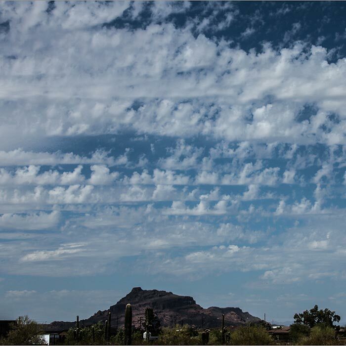
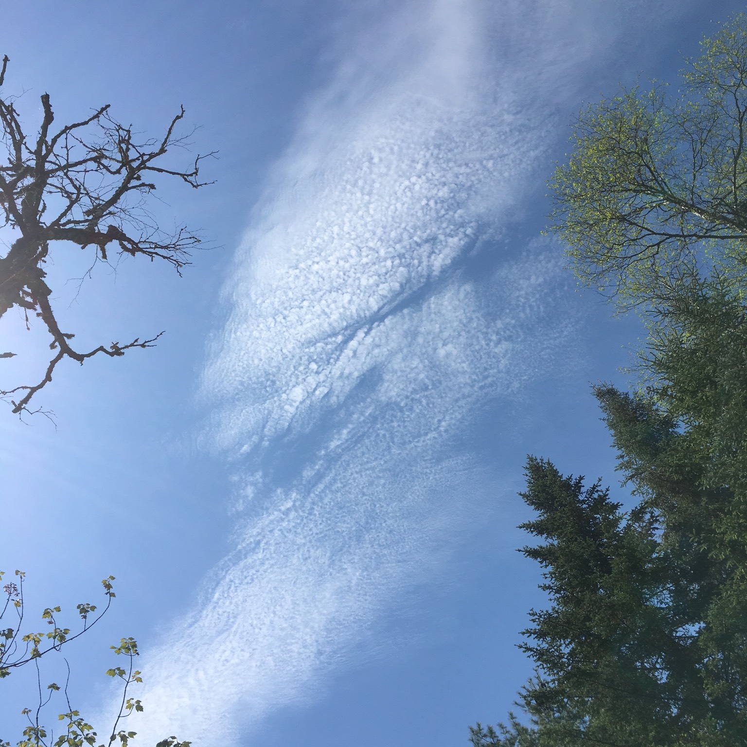
Cirrocumulus
About Cirrocumulus
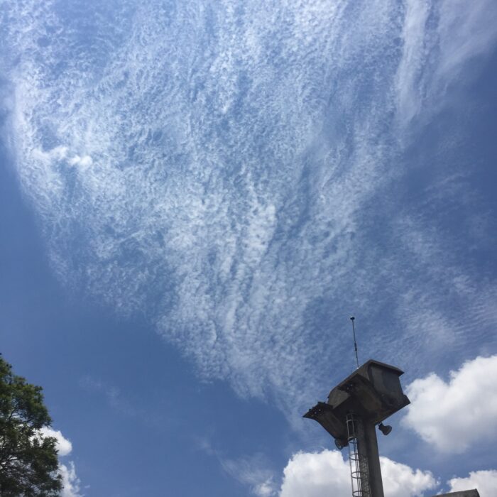
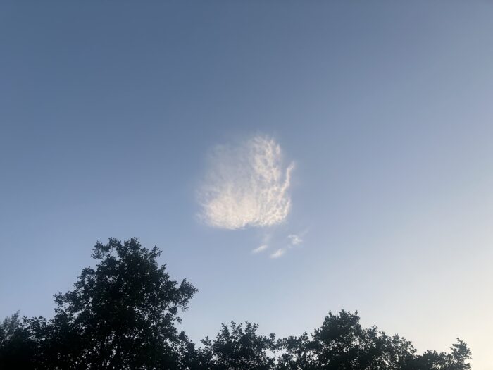
These are high patches or layers of cloudlets that appear tiny, on account of their distance from the ground.
The best way to distinguish Cirrocumulus from lower Altocumulus is the size of the cloudlets, as well as the area of the sky covered by the layer as a whole. Being such a distance from the ground (often in the region of six miles (10km)), the cloudlets of Cirrocumulus appear so small that you often have to look carefully to notice the cloud’s grainy texture. For the cloud to be Cirrocumulus, these cloudlets must appear no larger than the width of a finger, held at arm’s length, when they are more than 30˚ above the horizon.
Composed generally of very supercooled water droplets that are on the point of freezing into ice crystals, Cirrocumulus is the rarest of the ten main cloud types. When you see a layer of small cloudlets it is more typically the mid-level equivalent, Altocumulus. When Cirrocumulus is present, it doesn’t last long. The cloud soon freezes into the other high clouds, Cirrus or Cirrostratus. As a result, you’ll often find Cirrocumulus accompanied by these other high-cloud cousins.
Image: Spotted over Guatemala City, Guatemala by jorge.
Altitudes
Precipitation
Reference Images of Cirrocumulus
Don't Confuse Cirrocumulus With

Also Look For
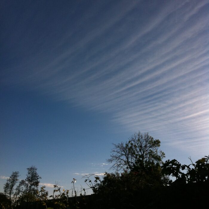
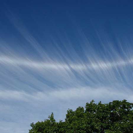
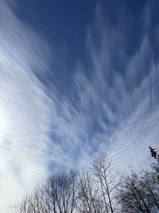
Fibratus
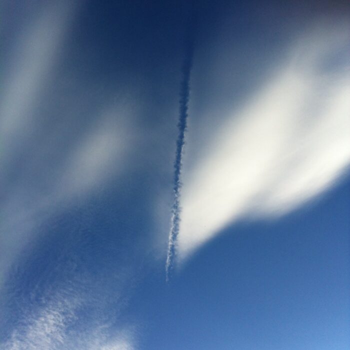
Distrail
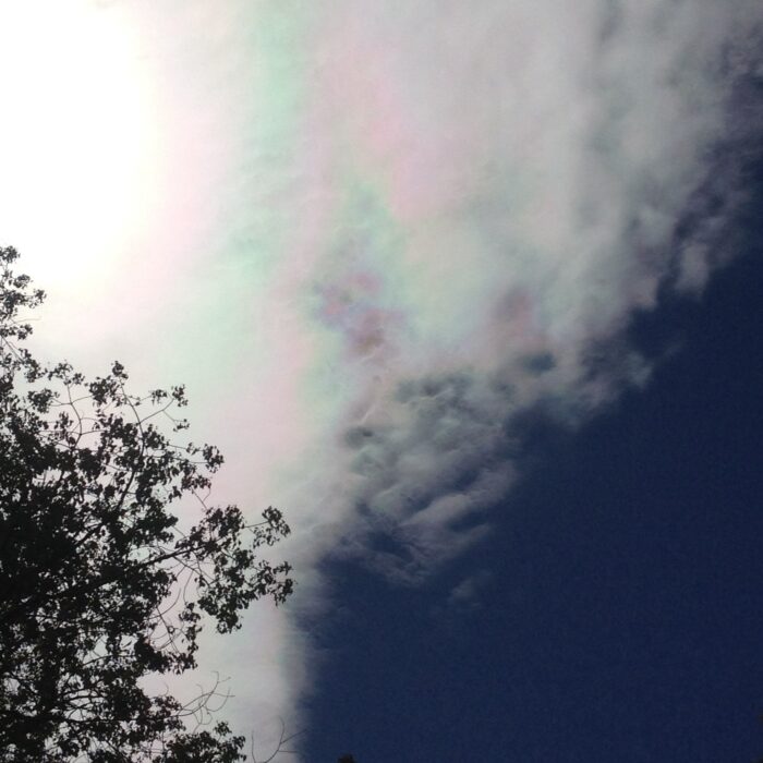
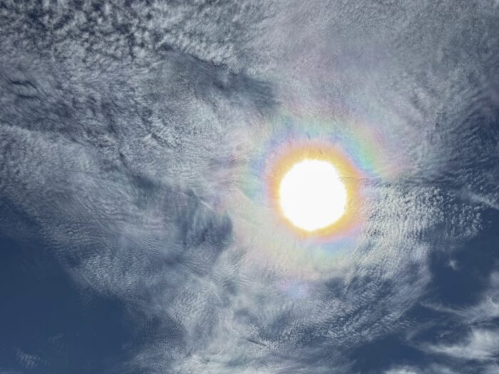
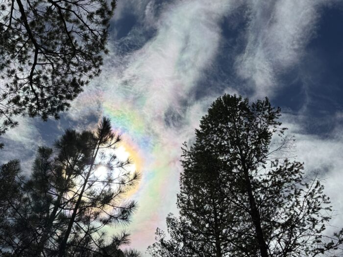
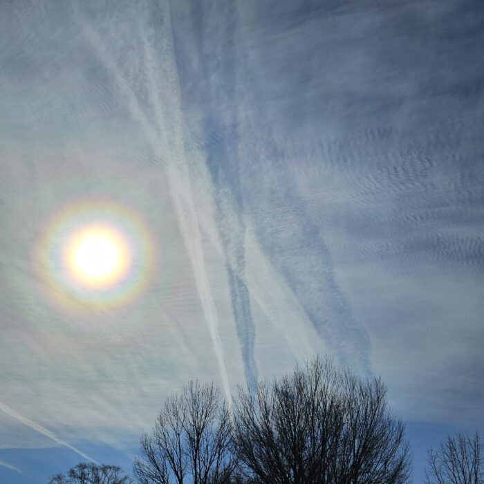
Iridescence
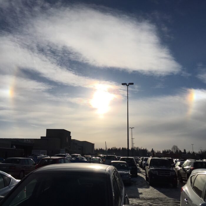
Sun dog
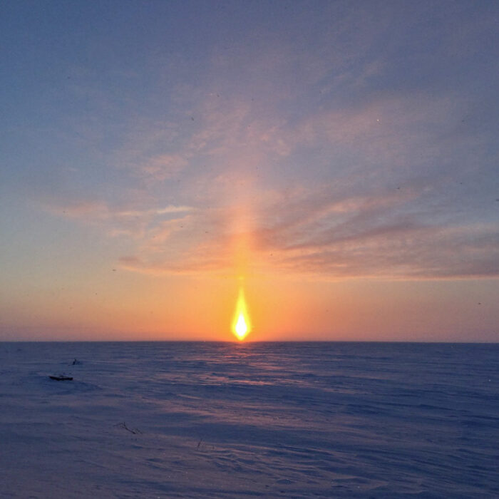
Sun pillar
Parhelic circle
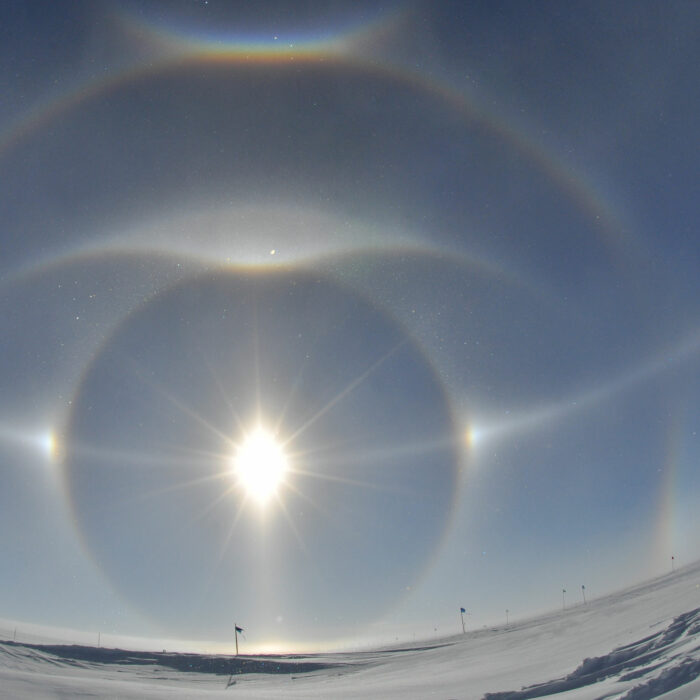
Supralateral arc

Reflection bow
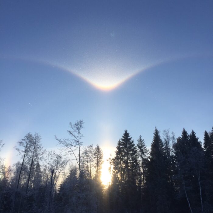
Tangent arc
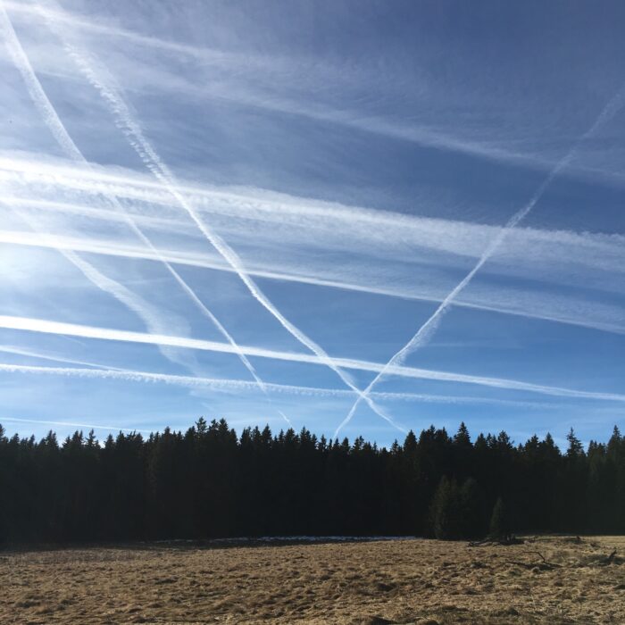
Contrail
