Filter By:
Main Cloud Types
- Cumulus
- Stratus
- Stratocumulus
- Altocumulus
- Altostratus
- Cirrus
- Cirrocumulus
- Cirrostratus
- Nimbostratus
- Cumulonimbus
Other Clouds
- Arcus
- Asperitas
- Cap / banner clouds
- Capillatus
- Castellanus
- Cataractagenitus
- Cauda (Tail cloud)
- Cavum (Fallstreak hole)
- Congestus
- Contrail (homogenitus)
- Duplicatus
- Diamond dust
- Distrail
- Fibratus
- Flammagenitus (Pyrocumulus)
- Floccus
- Fluctus (Kelvin-Helmholtz)
- Fractus
- Homogenitus
- Horseshoe vortex
- Humilis
- Incus
- Intortus
- Lacunosus
- Lenticularis
- Mamma
- Morning Glory Cloud
- Murus (Wall cloud)
- Mediocris
- Nacreous
- Nebulosus
- Noctilucent
- Pannus
- Perlucidus
- Pileus
- Praecipitatio
- Radiatus
- Silvagenitus
- Spissatus
- Stratiformis
- 'Supercilium' (not official classification)
- Translucidus
- Tuba / Twister
- Uncinus
- Undulatus
- Velum
- Vertebratus
- Virga
- Volutus (Roll cloud)
Optical Effects
- 22° Halo
- 46° Halo
- Circumhorizon Arc
- Circumscribed halo
- Circumzenithal Arc
- Cloudbow / Fogbow
- Corona
- Crepuscular rays & shadows
- Diffuse arcs
- Green flash
- Glory
- Halos
- Helic arc
- Infralateral arc
- Iridescence
- Lower Sun Pillar
- Lower Tangent Arc
- Moonbow
- Moondogs
- Parhelic circle
- Parry antisolar arcs
- Parry arc
- Parry infralateral arc
- Parry supralateral arc
- Rainbow
- Sub parhelion
- Sub-sun
- Suncave parry arc
- Sun dog (Parhelion)
- Sun pillar
- Supernumerary bows
- Subparhelic circle
- Supralateral arc
- Upper tangent arc
- Wegener arc
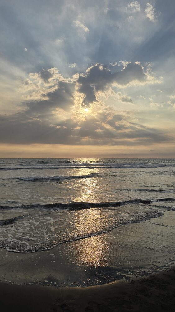
Crepuscular rays spotted over Sizihwan Bay, near Kaohsiung, Taiwan
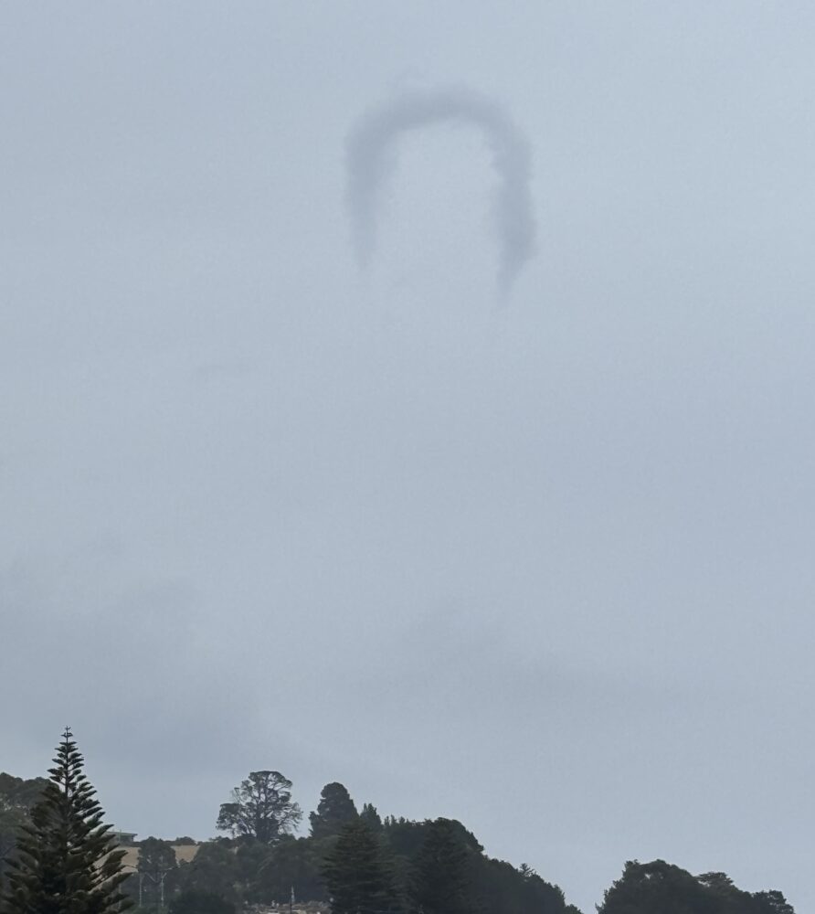
A classic example of a horseshoe vortex spotted by Lesleigh Griffin, which was observed for eight minutes from a beach near Penguin, Tasmania, Australia
Leave a Reply Cancel reply
You must be logged in to post a comment.
This site uses Akismet to reduce spam. Learn how your comment data is processed.
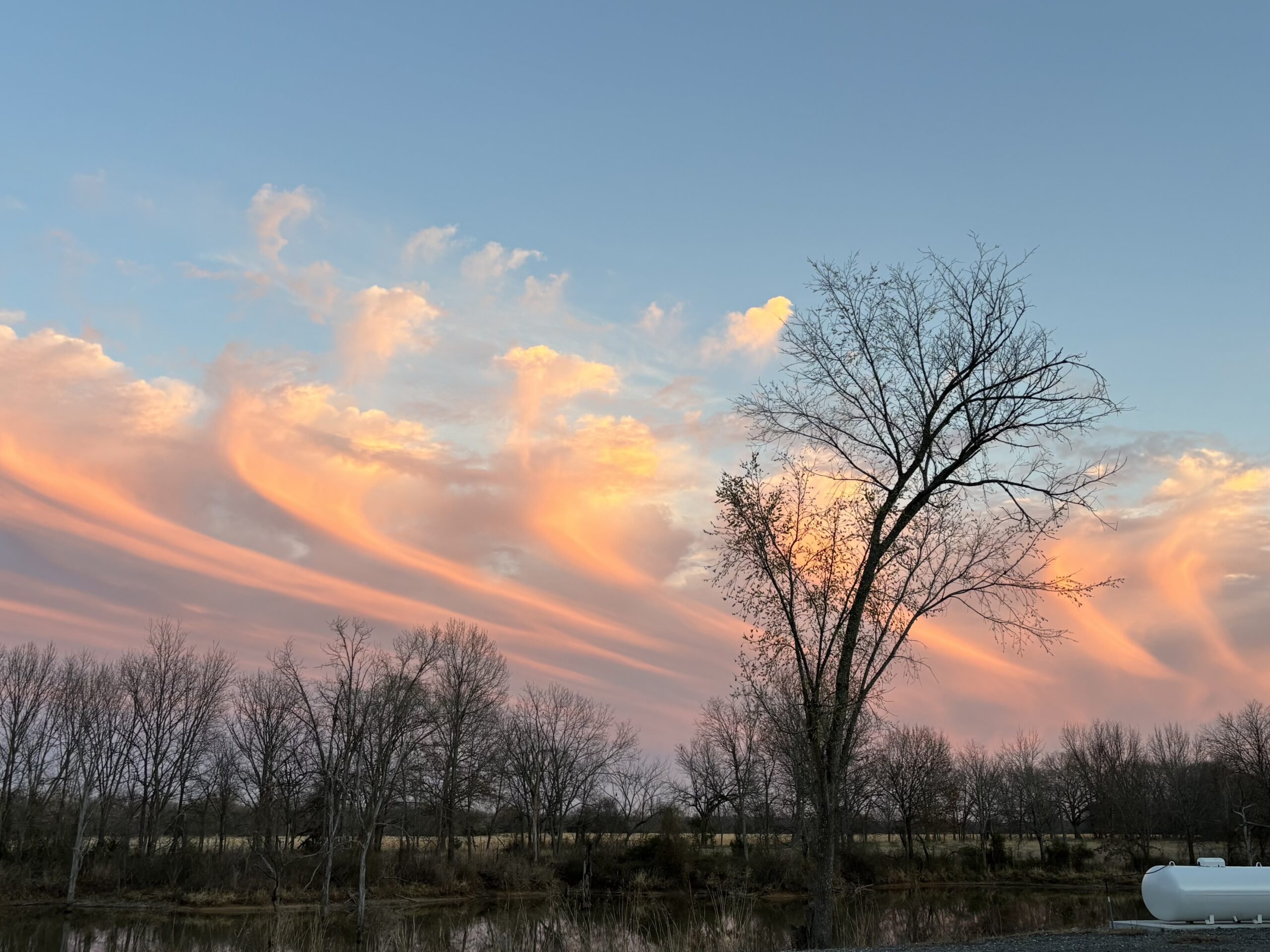
A day after a tornado impacted the area, Darcie's friend, Vicki Kiesau, spotted an expansive display of Virga over Tulsa, Oklahoma, US
Leave a Reply Cancel reply
You must be logged in to post a comment.
This site uses Akismet to reduce spam. Learn how your comment data is processed.
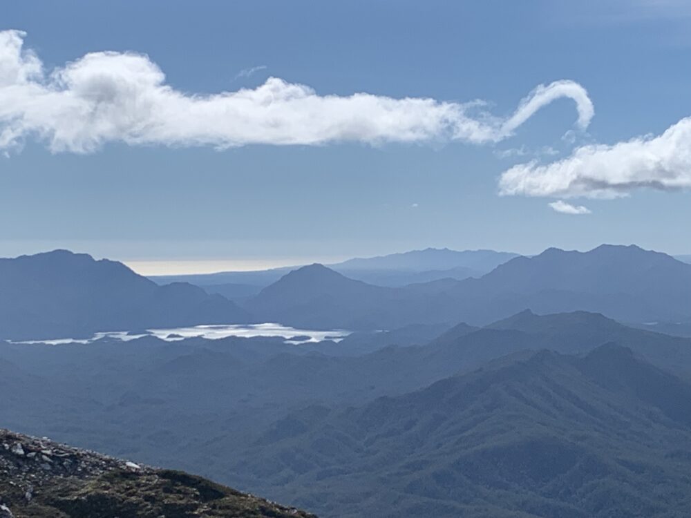
After reaching the summit of Frenchmans Cap, Wayde was surrounded by clouds. After 20 minutes the clouds began to lift and clear. Then, as he began to descend, a horseshoe vortex appeared in his view, spotted from Frenchmans Cap, Tasmania, Australia.
Leave a Reply Cancel reply
You must be logged in to post a comment.
This site uses Akismet to reduce spam. Learn how your comment data is processed.
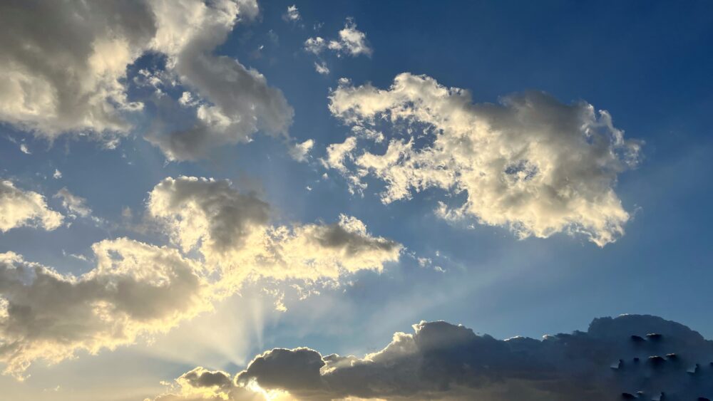
Crepuscular rays spotted over Western Iran
Leave a Reply Cancel reply
You must be logged in to post a comment.
This site uses Akismet to reduce spam. Learn how your comment data is processed.
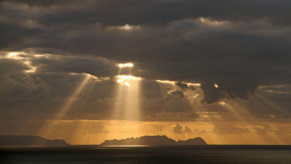
Crepuscular rays spotted over Funchal, Madeira, Portugal
Leave a Reply Cancel reply
You must be logged in to post a comment.
This site uses Akismet to reduce spam. Learn how your comment data is processed.
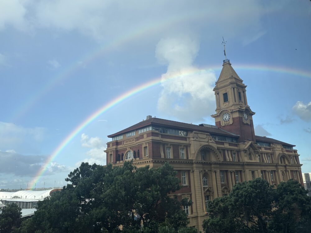
Primary and secondary bows spotted over the Ferry Building, Auckland, New Zealand
Leave a Reply Cancel reply
You must be logged in to post a comment.
This site uses Akismet to reduce spam. Learn how your comment data is processed.
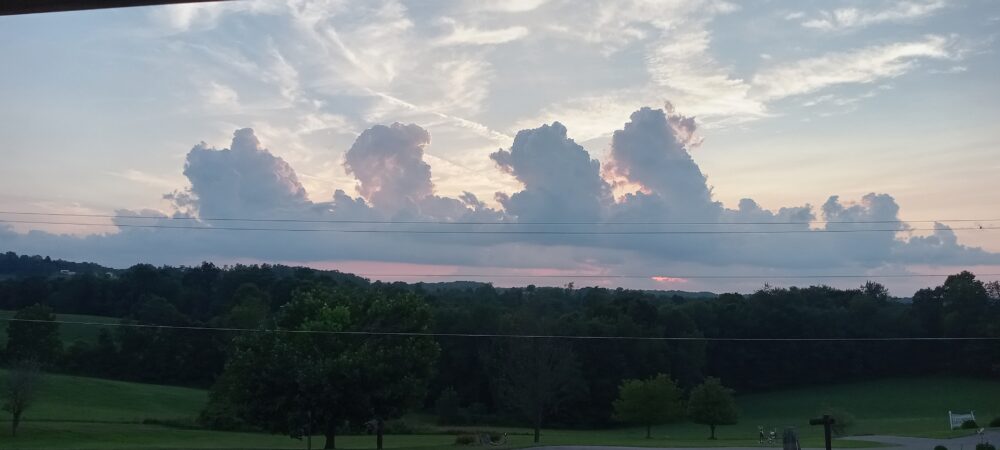
A line of developing Cumulus congestus spotted over east central Ohio, US
Leave a Reply Cancel reply
You must be logged in to post a comment.
This site uses Akismet to reduce spam. Learn how your comment data is processed.
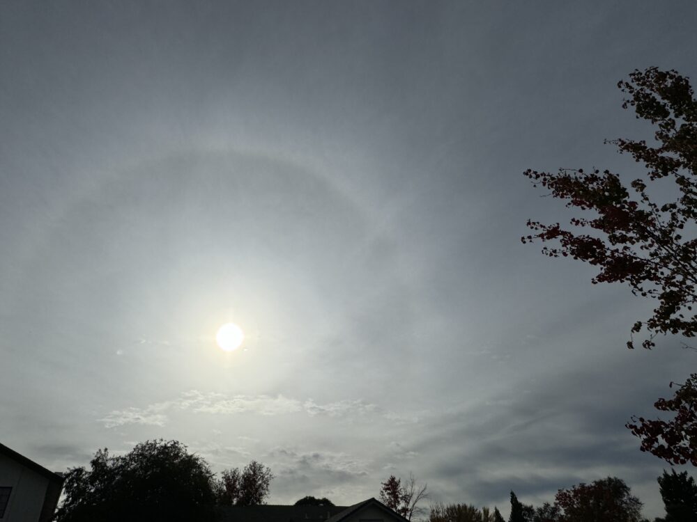
22-degree halo spotted over Sacramento, California, US
Leave a Reply Cancel reply
You must be logged in to post a comment.
This site uses Akismet to reduce spam. Learn how your comment data is processed.
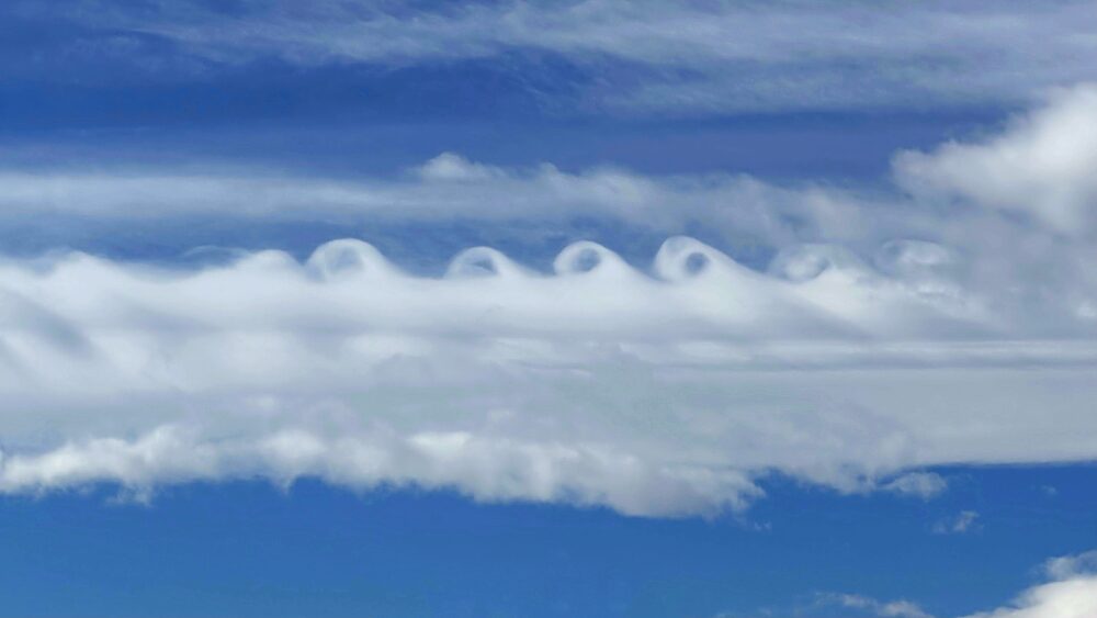
Fluctus (Kelvin-Helmholtz) spotted over the Rockies, near Brighton, Colorado, US
Leave a Reply Cancel reply
You must be logged in to post a comment.
This site uses Akismet to reduce spam. Learn how your comment data is processed.
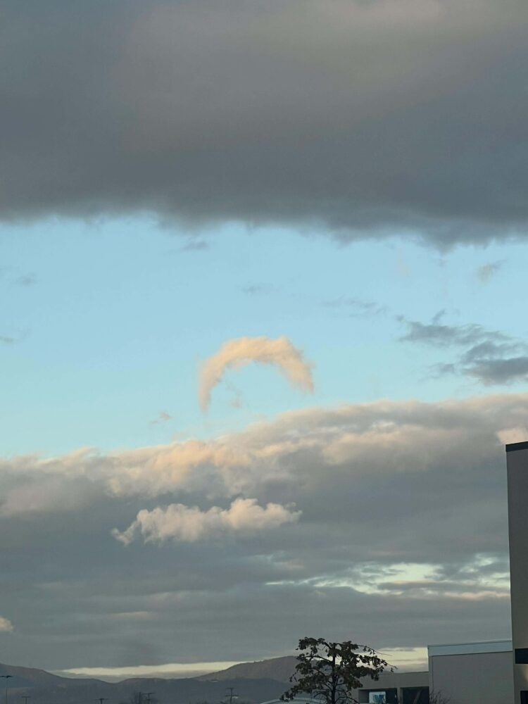
A classic example of a rare horseshoe vortex spotted over Roanoke, Virginia, US
Leave a Reply Cancel reply
You must be logged in to post a comment.
This site uses Akismet to reduce spam. Learn how your comment data is processed.
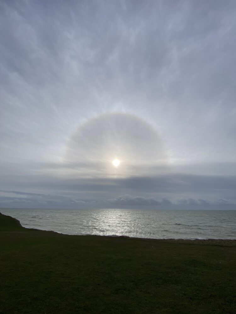
22-degree halo spotted near Birling Gap, Seven Sisters, East Sussex, England
Leave a Reply Cancel reply
You must be logged in to post a comment.
This site uses Akismet to reduce spam. Learn how your comment data is processed.
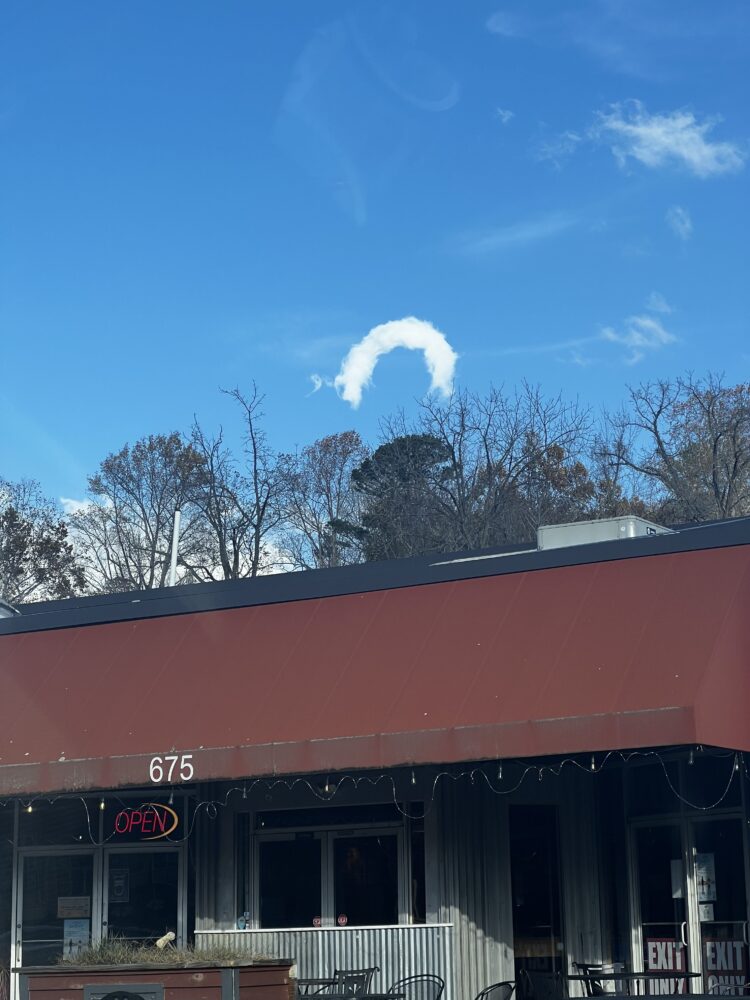
A classic example of a large horseshoe vortex spotted in the late afternoon over Asheville, North Carolina, US
Leave a Reply Cancel reply
You must be logged in to post a comment.
This site uses Akismet to reduce spam. Learn how your comment data is processed.
Crepuscular rays spotted over Jeollanam-do, South Korea
Leave a Reply Cancel reply
You must be logged in to post a comment.
This site uses Akismet to reduce spam. Learn how your comment data is processed.
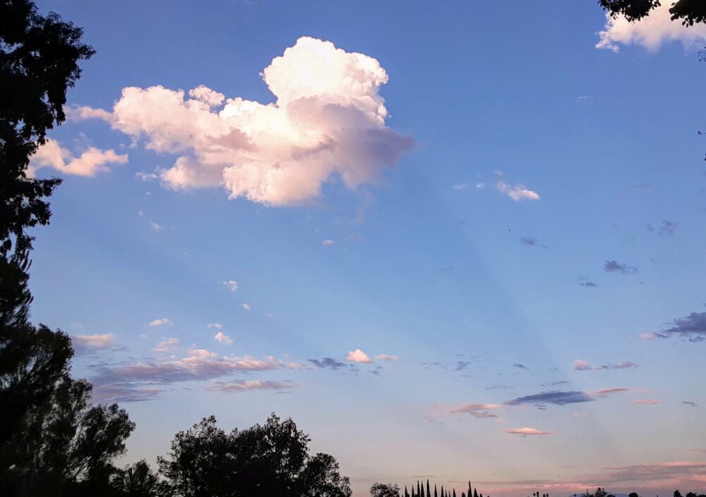
Anti-crepuscular rays, an optical phenomena caused by shadows cast by clouds or other objects, illuminated by sunlight, as spotted here when Joan was standing and facing east at sunset, with her back to the west, near San Diego, California, US
Leave a Reply Cancel reply
You must be logged in to post a comment.
This site uses Akismet to reduce spam. Learn how your comment data is processed.
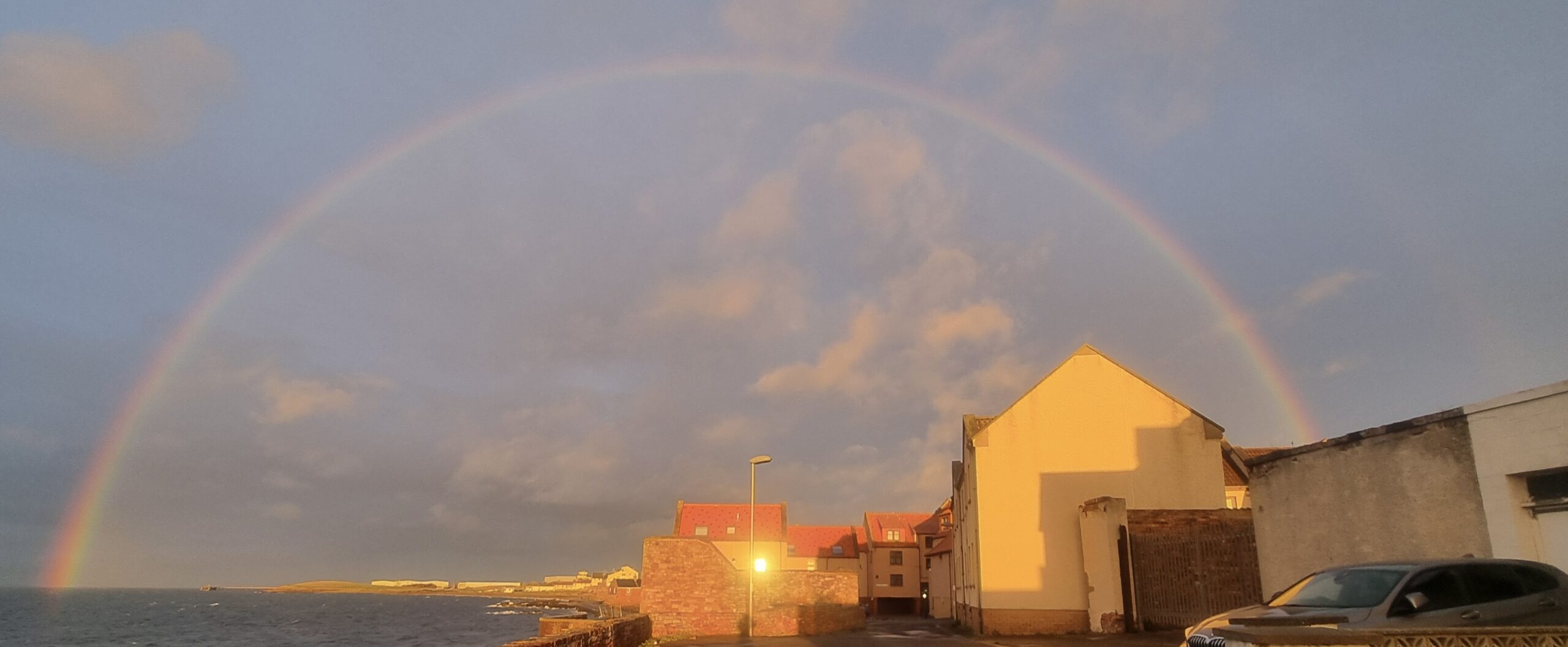
Sunset accompanied by a rainbow, spotted near Prestonpans, Scotland
Leave a Reply Cancel reply
You must be logged in to post a comment.
This site uses Akismet to reduce spam. Learn how your comment data is processed.


