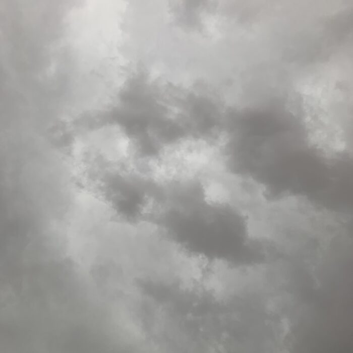
Nimbostratus

About Nimbostratus
When people claim clouds are depressing, they’re often thinking of Nimbostratus. This thick, grey, featureless rain cloud gives all the other ones a bad name. Not only does it block much of the sun’s rays, casting everything in a dim, miserable light, it also produces rain – and lots of it.
Nimbostratus is one of only two cloud types that are defined as always producing rain or other precipitation. The other is the Cumulonimbus storm cloud. From below, both appear as dark and ominous skies, but they can be distinguished by the nature of their precipitation. Compared with the brief heavy showers from individual Cumulonimbus clouds, the precipitation from Nimbostratus is much more steady, and can last for many hours.
Surreptitiously and without fanfare is how the Nimbostratus arrives. It generally results from the thickening and lowering of Altostratus. Since one cloud leads to the other, the point of distinction between Alto- and Nimbostratus is rather academic. But when the cloud is dark, and the rain moderate to heavy, and its diffused base shows darker ragged patches of Stratus fractus, which is also known as pannus, you can confidently add Nimbostratus to your cloud collection. Your photograph of this less-than-handsome cloud type is unlikely to ever win you any awards. This is the cloud that gives all the others a bad name.
Image: Spotted over Bernal Heights, San Francisco County, California, United States by lucky blaze.
Altitudes
Precipitation
Reference Images of Nimbostratus
Don't Confuse Nimbostratus With

Stratus

Cumulonimbus


