
Altostratus
About Altostratus
It feels wrong to devote as much space to the rather drab and featureless Altostratus cloud as to its relative, the gloriously varied Altocumulus. Few CloudSpotters will be seen to punch the air and high-five upon adding this one to their cloud collection. Altostratus is, after all, generally considered the most boring of all the cloud types. Although, even to say that, makes it sound rather more noteworthy than it deserves.
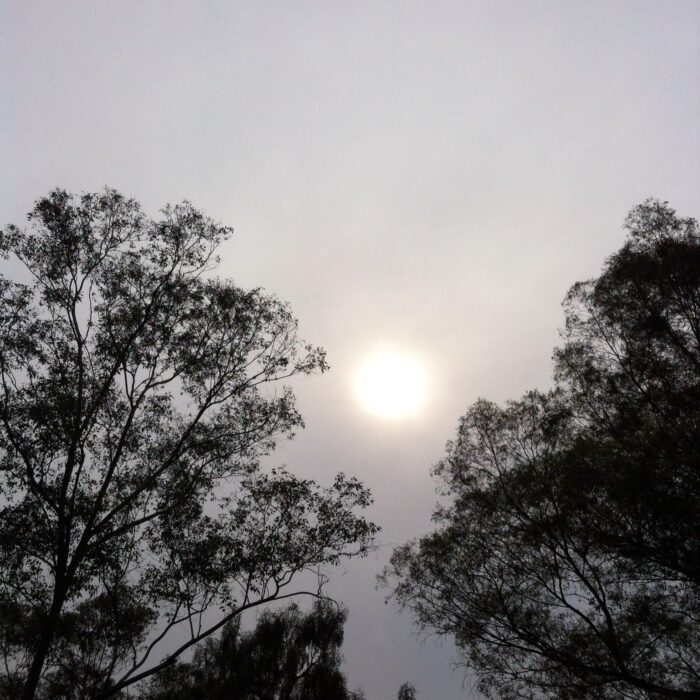
Altostratus is a mid-level, generally featureless, grey, overcast layer – a Tupperware sky that often extends over several thousand square miles. True to its dull nature, Altostratus produces little more than a lingering drizzle or light snow. Once it is thick enough to produce more significant precipitation, it has generally developed into the Nimbostratus cloud.
The most common way for Altostratus to form is by the thickening of high Cirrostratus, when a large region of warmer air pushes against one of colder air. The warmer air, being less dense, rises gently en masse over the colder.
Generally darker than Stratus, Altostratus never produces halo phenomena, as Cirrostratus does. The sun showing through the cloud appears as if through ground glass.
Image: Spotted over Ciudad Universitaria, The Federal District, The Federal District, Mexico by Berenice Pelaez Pavon.


