

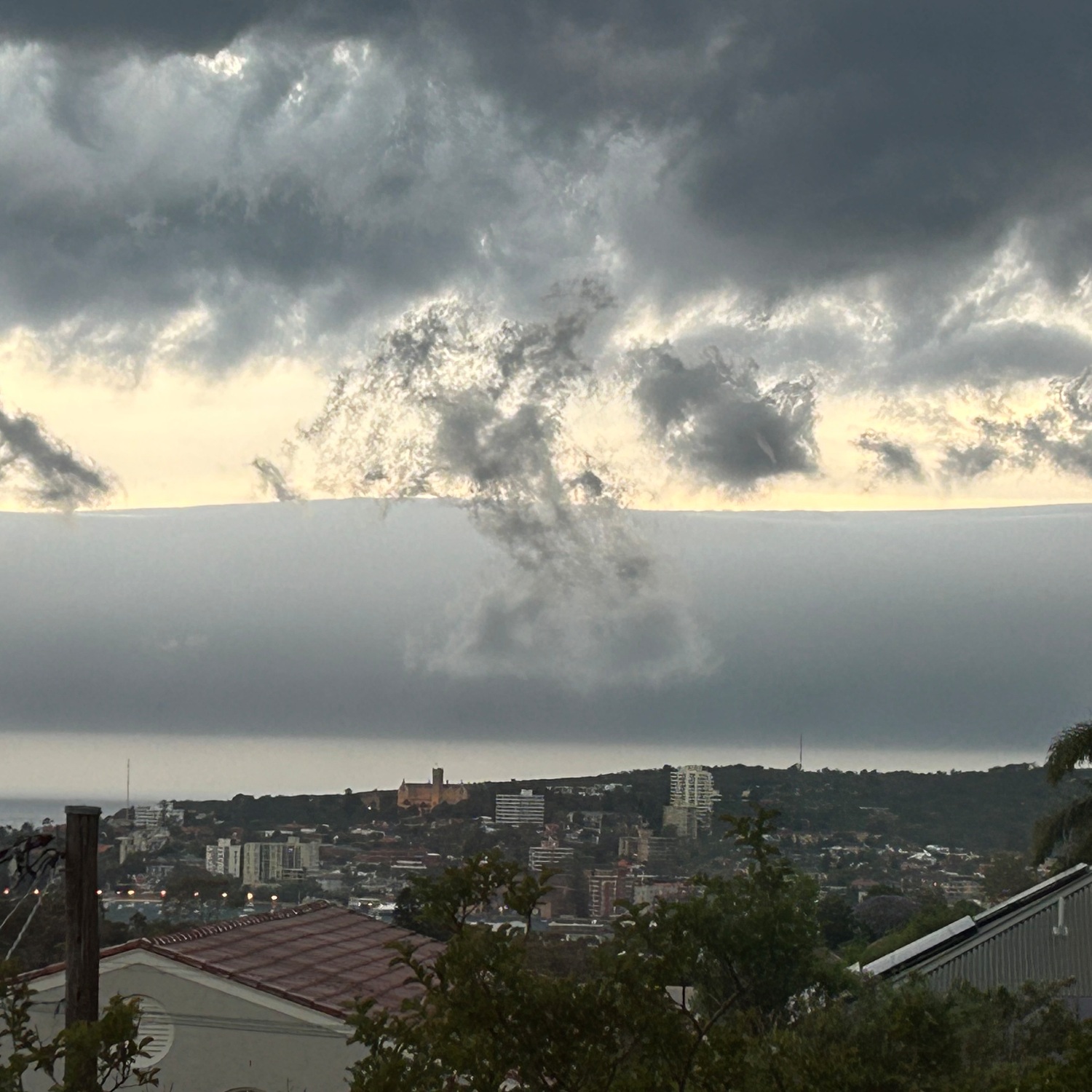
After a humid day, a storm developed over the Tasman Sea near Manly, New South Wales, Australia. From there, Gaynor Worman (Member 13,590) saw this smooth roll of cloud, known as Stratocumulus volutus. This cloud roll rotated about its horizontal axis, lifting at the front and sinking at the back. It was caused by a Cumulonimbus storm cloud hidden from view.
This Cumulonimbus was releasing showers out at sea and starting a cascade of atmospheric events that led to the volutus. The storm’s heavy precipitation dragged cool air down with it to the sea surface. While the precipitation landed in the water, the cool air splayed out at the surface – particularly ahead of the storm’s movement. Being cooler, and so denser, than the warm air near the surface, this outflow burrowed beneath the surrounding air, lifting it as it spread out ahead of the storm. The warm air lifted and sank back down like a wave advancing ashore, with the rotating roll of Stratocumulus volutus at its core.