
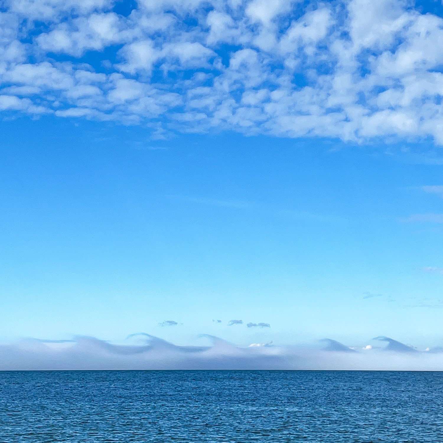
A distant storm at sea, viewed from the shore? No, this is a fluctus cloud, spotted by Pam Bauer (Member 49,839) as she was collecting shells on the beach near Port Townsend, Washington, US. Also known as Kelvin-Helmholtz wave clouds, fluctus are breaking-wave-shaped features that develop on cloud at the boundary between differing layers of air. For the curling waves to form, there needs to be wind shear at the top of the cloud layer – with the wind above flowing at a markedly different speed or in a different direction to the wind within the cloud. Pam’s fluctus formed along the top of a patch of sea fog that developed in air cooled by the chilly sea surface in the Strait of Juan de Fuca. The shearing effect of winds flowing above the fog layer would have caused undulations to develop along its upper surface and then curled these over into the fluctus vortices. ‘Waves in the sky and the water!’ Pam said. ‘But the delicate curls in the cloud didn’t last long.’ Fluctus clouds never do. Once formed, they’ll usually dissipate within a couple of minutes, making dramatic examples of these cloudy waves, like Pam’s one, among the rarest of all cloud types.
