
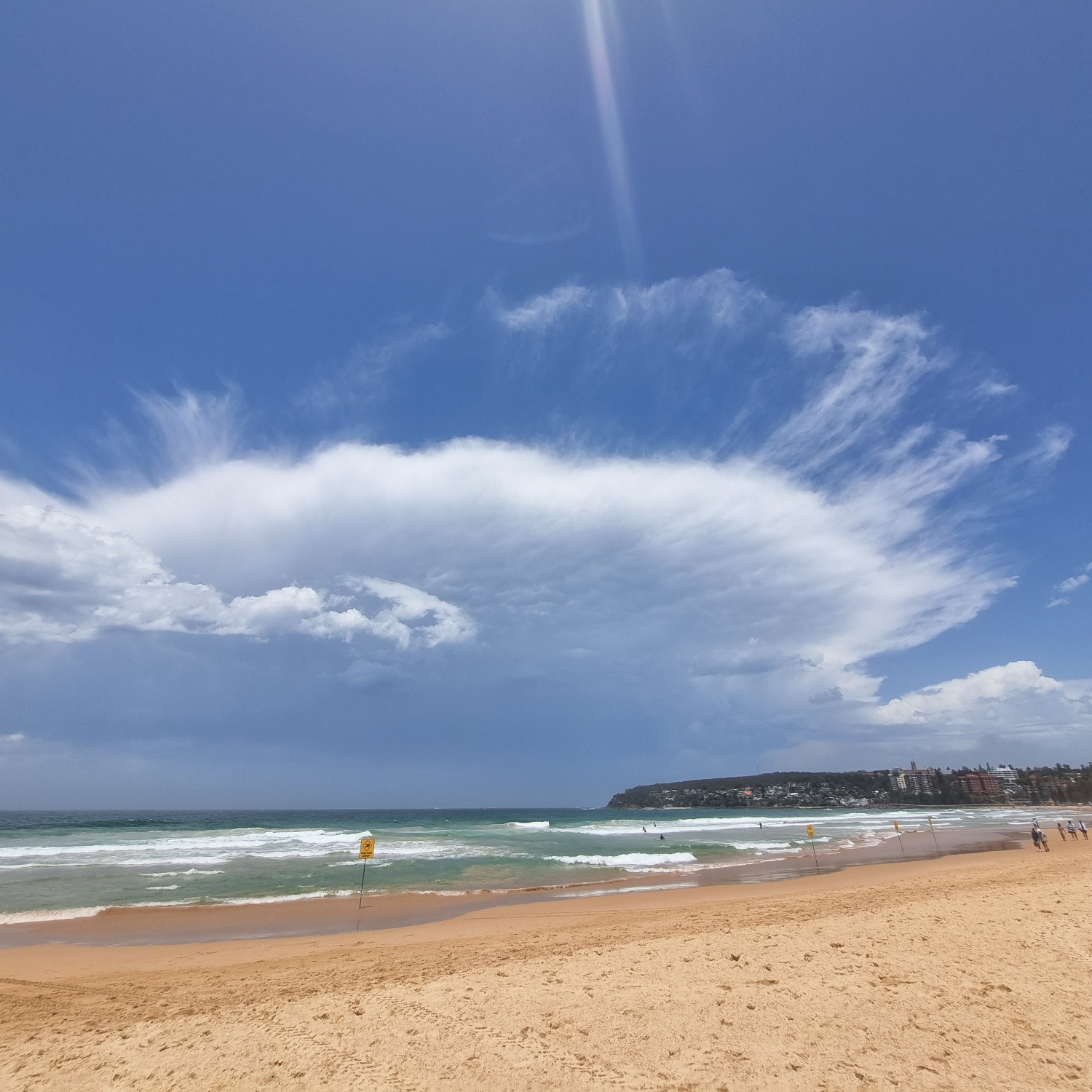
Taya Keating (Member 53,065) spotted this colossal Cumulonimbus capillatus incus towering above the beach in Sydney_, _Australia. The appearance of its upper region – the bit we call the incus (Latin for ‘anvil’) – looks rather like a wave drawing back after breaking on the shore.
Contrary to appearance, the upper part of the storm cloud is not retreating from a high-tide mark but spreading out towards it. The Cirrus-like streaks out beyond the anvil suggest it is likely expanding rapidly. The upper winds here are likely flowing inland from out at sea. Some of the moisture carried aloft by the extremely powerful upcurrents in the middle of the storm have been spread out by the high winds beyond the clear-sky region just around the anvil, where air is curling over and sinking back down, and it is appearing as patches of cloud with ice crystals falling from them. The winds blow much faster at the very top than they do just below, and so the streaks of ice crystals seem to trail towards the anvil as they fall into slower winds below.
Think of those streaks of Cirrus beyond the storm’s anvil not as a high-tide mark from which the storm’s anvil is retreating, but the mark it’s striving to reach.
