
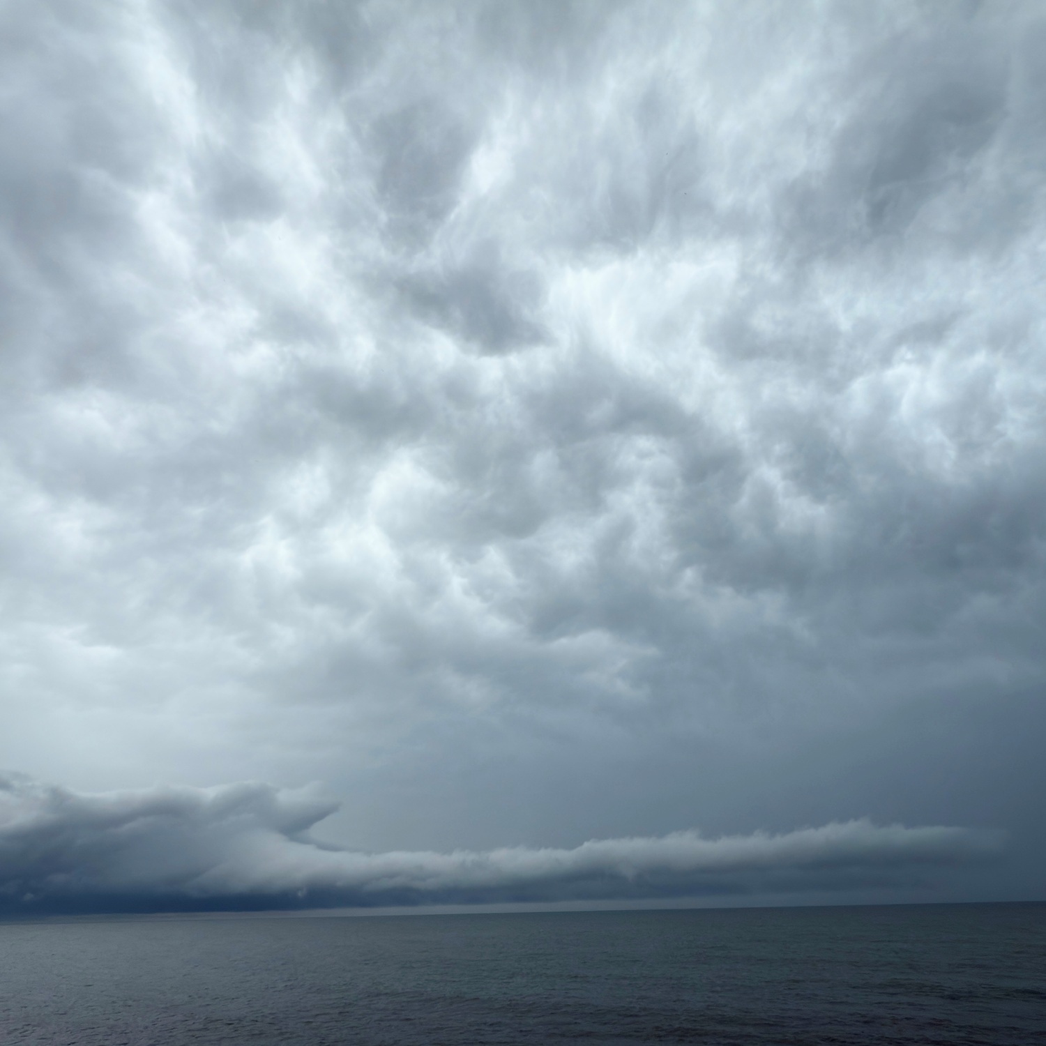
When an enormous white swan appeared to be flying low across Lake Erie to Joan Pogalies (Member 62,612) on the shore at Madison, Ohio, US, she knew it was bearing a message.
Flying beneath a Cumulonimbus storm cloud, its body and long, outstretched neck were part of an arcus: a low, horizontal cloud feature that develops along the leading edge of a thunderstorm. Sometimes called a shelf cloud or a gust front, it shows that a burst of cool air is rushing out ahead of the advancing storm, burrowing beneath the warmer, moist air ahead, causing this to condense as it rises into a cloud roll attached to the storm front. When the arcus arrives, winds become strong and gusty and heavy showers come just behind.
Joan was right to read the message of the swan: ‘A storm is coming!’
