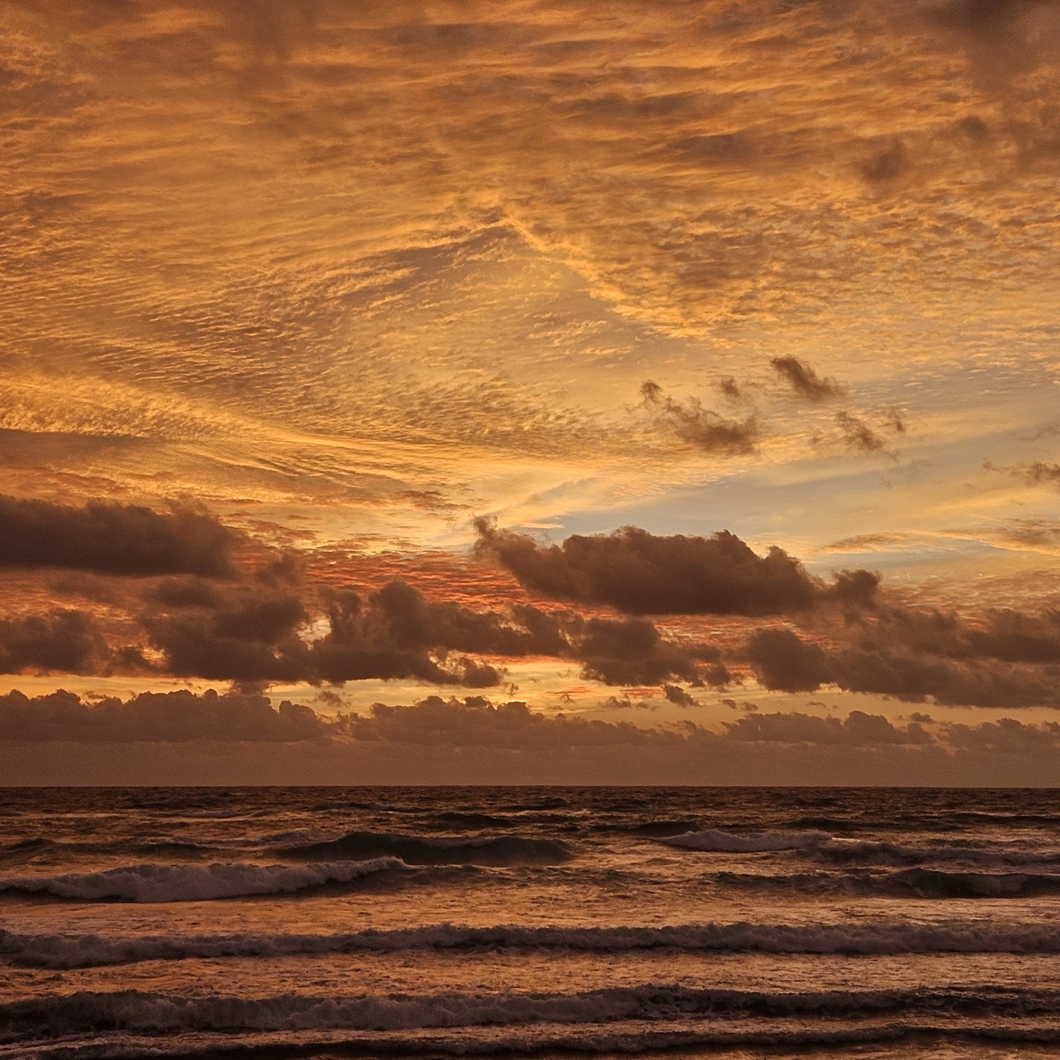
We divide clouds into low, mid-level, and high formations, grouping them into general altitude ranges, known as cloud étages. The boundaries between these ranges, like so much in the world of clouds, are vague and indistinct. This is partly because the height of the troposphere – that part of our atmosphere where weather happens – varies with latitude. The troposphere is far taller near the equator than over the poles, and so dividing it into three leads to different altitude boundaries over different regions of the world. We also make the altitude ranges fuzzy to accommodate an essential characteristic of clouds: how they like to change from one form to another.
Mid-level clouds, for instance, like the Altocumulus in the upper half of this sky spotted by Ray Popkin (Member 63,500) over Boca Raton Beach, Florida, US, have a tendency to freeze – particularly when in the higher part of their altitude range. In doing so, all their droplets can turn into ice crystals that fall in streaks. An Altocumulus like this will effectively have changed into the high cloud Cirrus, which is characterised by streaks of falling ice crystals – one that’s in the lower part of its altitude range. Such mutability is what clouds are all about, so we accommodate this with altitude ranges that are loose and that overlap – blurred, like clouds themselves. Ray’s morning scene is a busy jumble of Stratocumulus clouds in the low étage, Altocumulus in the middle étage, and Cirrus in the high étage. The name for it is thankfully simple. We just call it a mixed sky.


