Altitude: Various

Castellanus

When a layer of cloud rises in distinct turrets with bumpy tops that resemble crenellations, it is of the species known as castellanus – and this one can give an early indication of unsettled weather to come later in the day.

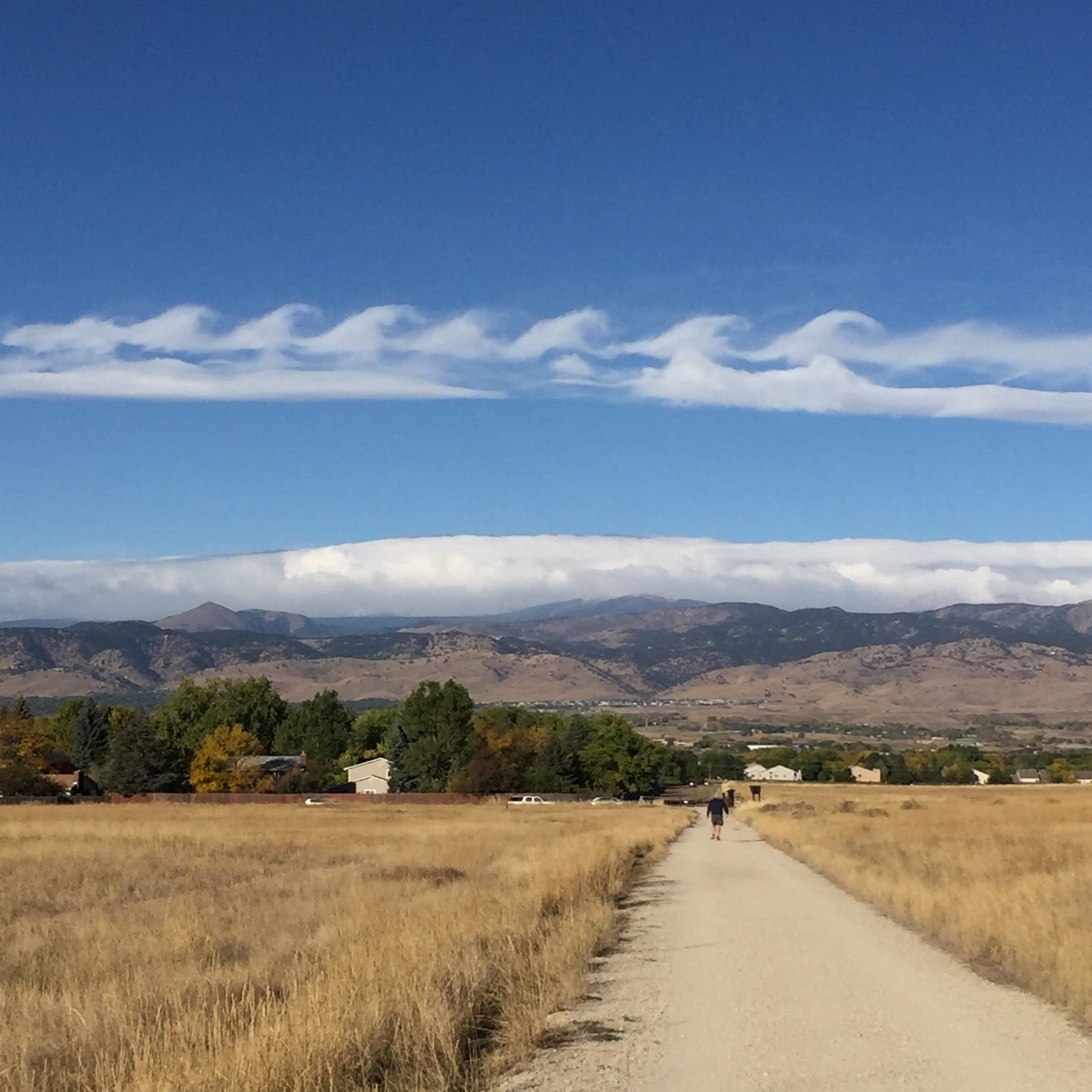
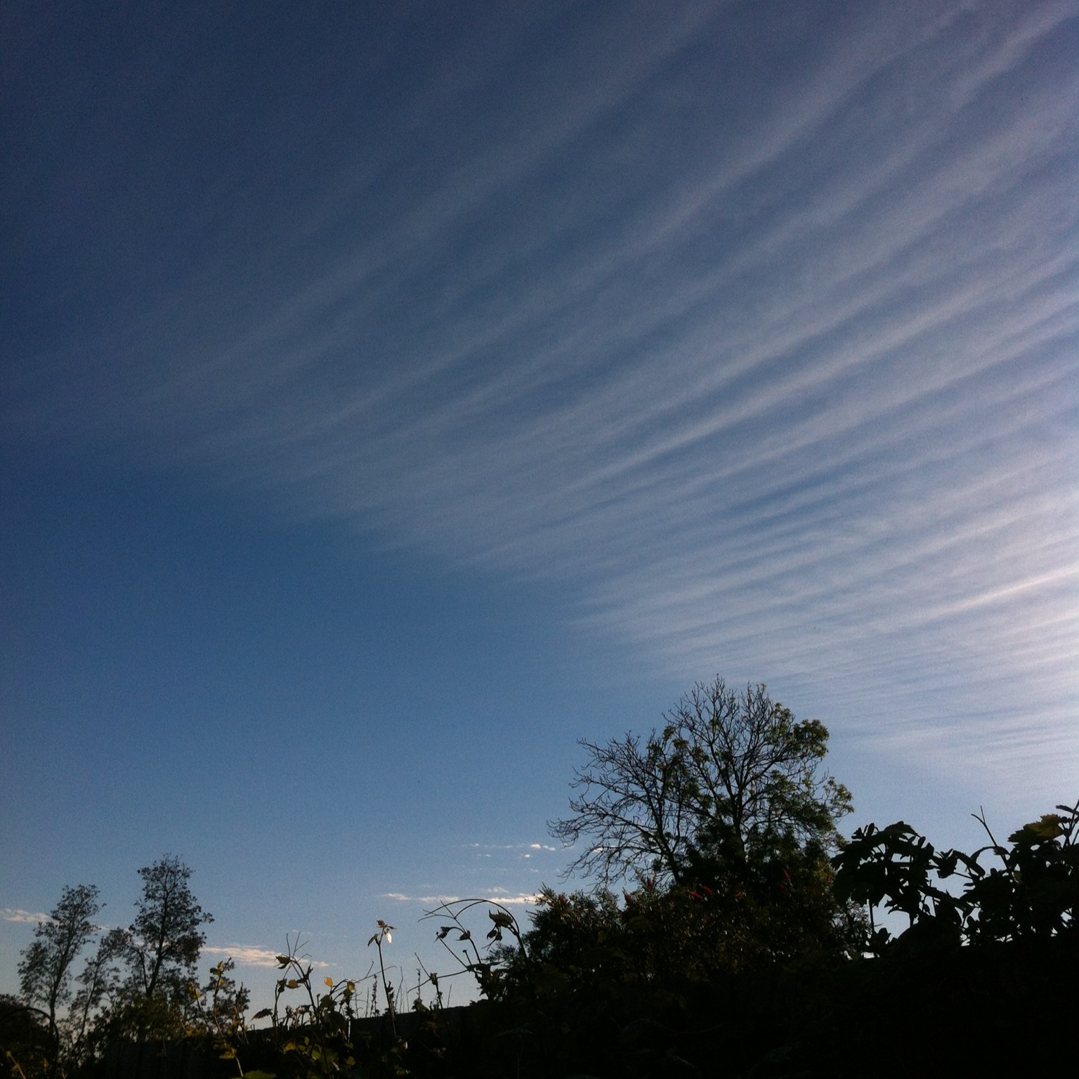
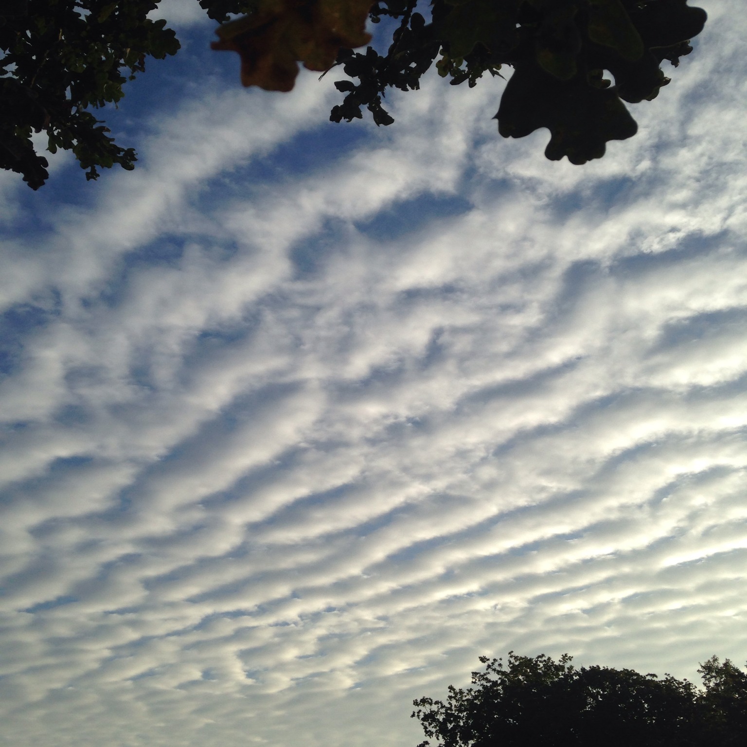
The turrets of castellanus can be found at all three cloud levels, but the ones that are hardest to identify are in the high clouds, Cirrocumulus and Cirrus. As much as anything, this is because the cloud elements are so far away that they appear tiny from the ground, making any observation of the subtle nature of their tops rather challenging. Luckily, these examples of castellanus are also the least indicative of unsettled weather.

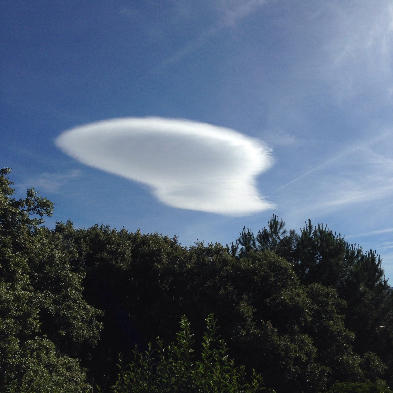
The low cloud Stratocumulus may be described as castellanus when at least some of the cauliflower mounds that form its upper surface have grown taller than they are wide. These rising turrets can sometimes continue to grow upwards and develop into rain-bearing Cumulus congestus, or even Cumulonimbus storm clouds.

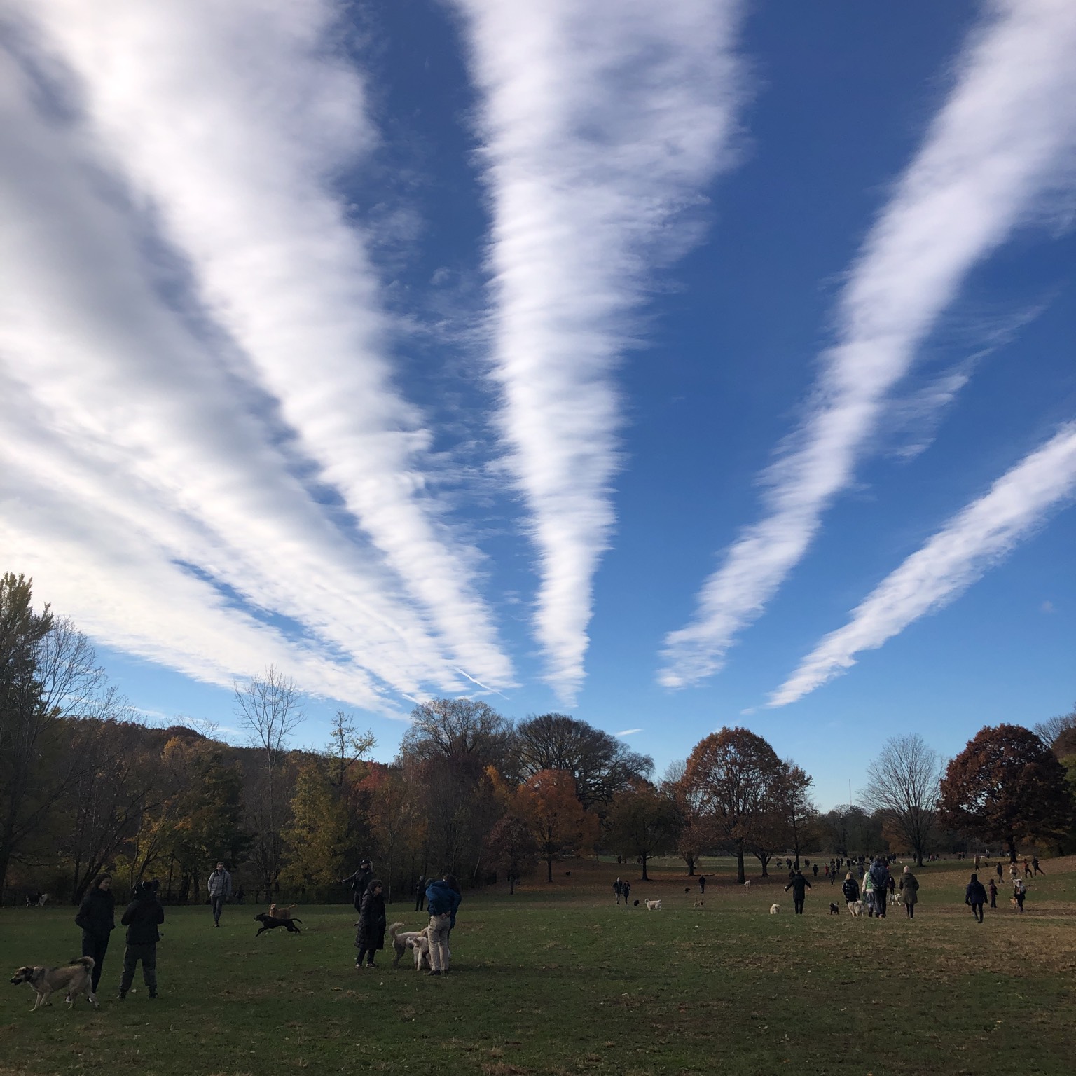
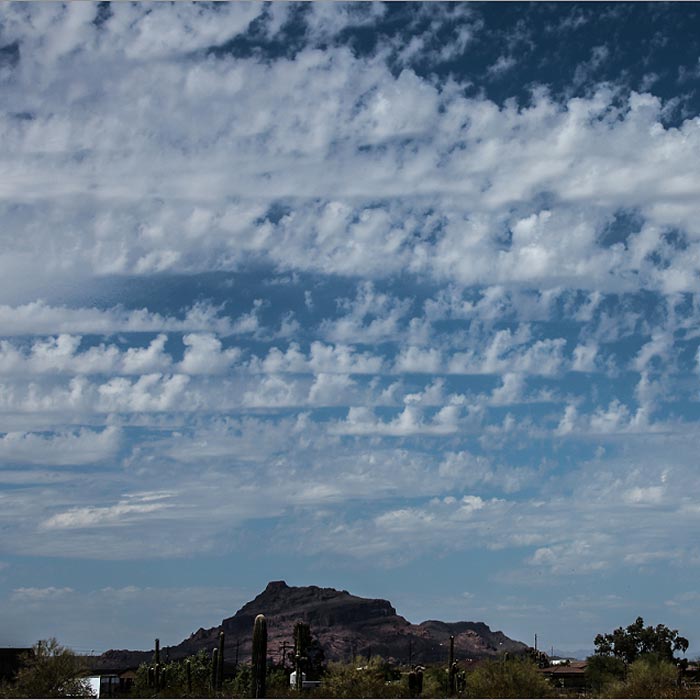
But it is in the mid-level cloud Altocumulus that the jagged crenellations of castellanus are most recognisable, and also where they best forecast unsettled weather. The vigorous turrets show that the air at the mid-cloud level is unstable. Any Cumulus that start to develop on thermals and build up from below will, upon reaching this mid-level, continue growing with extra vigour, and quite possibly develop into tall, stormy Cumulonimbus clouds.

The castellanus term is never used to describe individual Cumulus clouds. When Cumulus grow tall like this, they are referred to as Cumulus congestus.

Fluctus

The fluctus cloud, also known as the Kelvin-Helmholtz wave cloud, looks just like a series of enormous waves breaking on the shore. It is rare, fleeting and the favourite of surfing CloudSpotters. A well-defined fluctus is the crown jewel in many a cloud collection, for it requires the CloudSpotter to be blessed with eagle-eyed sky awareness and sheer blind luck. In one spotting alone, this cloud can help observers overtake their fiercest cloud-collecting rivals.

It appears at all three cloud levels, and can be thought of as a very specific example of the undulatus cloud variety, tending to be found in Stratocumulus, Altocumulus or Cirrus clouds. The distinctive curling waves can also sometimes be spotted along the top edge of a lenticularis cloud, a small Cumulus or even a layer of fog. In all cases, the formation lasts no more than a minute or two.

The breaking-wave appearance is caused by wind shear. When cloud develops at an abrupt boundary between layers of colder air below and warmer air above, and the upper layer is moving more rapidly than the lower one, undulations can develop along its upper surface. If the amount of shearing is just right, these undulations can roll up into a succession of vortices. The mechanism is rather different from that of ocean breakers, but fluctus cloud do look like a cloudspotting surfer’s idea of heaven.

Horseshoe vortex

What a subtle little wisp of cloud the horseshoe vortex is! It is easily missed by anyone other than the most keen-eyed CloudSpotter, intent on adding it to their collection. The rare and fleeting horseshoe vortex cloud appears for just a minute or so before evaporating. Anyone lucky enough to spot one must take a photo if they want to be believed by their cloud-collecting friends.

This cloud forms in a region of rotating air, or vortex. While the familiar orientation for a vortex is vertical (see the tuba cloud), they can occasionally develop on a horizontal axis. This is when the gently rotating crescent of the horseshoe vortex cloud can form. The movement of air seems to result from thermal that is sent into a spin as it reaches stiff horizontal winds above. Only rarely are conditions right for cloud to appear as the low pressure within this horizontal vortex causes the air to cool slightly. When they are, the twisting ribbon of cloud that forms is soon lifted upwards at its centre by the rising thermal, and distorts into a crescent shape.

This rare and beautiful little cloud won’t lead to any precipitation, but it will rain down luck upon anyone fortunate enough to spot it – as well as five CloudSpotter stars.

Lacunosus

A rare, fleeting formation, the lacunosus variety is identified in terms of the gaps between cloud elements, rather than the clouds themselves. It is when a cloud layer is composed of more or less regular holes, around which fringes of cloud form, like a net or rough honeycomb. Even though lacunosus forms at all three cloud levels, it is an elusive prize for any cloud collector, since it is so short-lived.

The holes of this variety are formed by sinking pockets of air, and the cloud fringes around them by air rising up between the pockets to replace them. Such sinking can occur when a layer of cooler air finds itself over a warmer one. Being more dense, the cooler air sinks down through the warmer air. The appearance is similar to the rough honeycomb pattern you occasionally see on the surface of a hot cup of tea. As the tea on the surface cools and contracts, it sinks in pockets through the hotter tea below, which bubbles up in between to replace it. That said, no one is completely sure why sometimes the cool air sinks to form lacunosus, while other times the warm air rises in pockets to form the opposite arrangement of cloudlets with gaps between.

Mamma

‘What on Earth are those?’ is the usual reaction when people see photographs of mamma clouds. Also known as ‘mammatus’, these ‘supplementary features’ hang down from a layer of cloud in smooth or rough pouches that often have the appearance of udders (which is what ‘mamma’ means in Latin).

With such an otherworldly appearance, mamma are a must-have for any cloud collection. They can be found on a whole range of cloud types but the most dramatic examples occur on the underside of the huge anvils, known as incus, that spread out at the top of mature Cumulonimbus storm clouds and can cover all the visible sky.

Some claim that mamma are harbingers of stormy weather, and what with the association between these cloud pouches and Cumulonimbus, you might think they have a point. But mamma tend to form at the rear, rather than the front, of storms. Once you see mamma formations above you, the storm has usually passed over, or missed you entirely.

Each lobe of mamma is typically one to two miles across, and appears for around ten minutes. There are several theories about why they form, but an extensive 2006 scientific review of all the studies to date concluded that no one’s really sure.

Radiatus

When a layer of cloud rolls or clumps extends in long lines that stretch off to the horizon, the effect of perspective makes these lines converge, like railway tracks, towards a point. Such a formation is a variety known as radiatus, and it can be found at all three cloud levels.

The parallel cloud lines form along the direction of the wind at cloud level. (When they form perpendicular to the wind, they are of the undulatus variety, rather than radiatus.)

Radiatus in low Cumulus clouds are known as ‘cloud streets’. These formations cause glider pilots to wet themselves with excitement, for they indicate avenues of lifting air along which the pilots can reliably gain altitude.

When it comes to high, ice-crystal clouds, the most dramatic examples of radiatus result from jet streams – the ribbons of 180mph winds that encircle the globe in the mid-latitudes at the top of the troposphere. Known as ‘jet-stream Cirrus’, these radiatus varieties of Cirrus can be spread over great distances by the high winds. Occasionally they appear to extend all the way from one horizon right overhead to the opposite one. The perspective causes the cloud rows to bulge dramatically above, while converging at ‘radiation points’ on each horizon. Such an impressive radiatus formation will be a source of great pride for any cloud collector but it is practically impossible to photograph in its entirety, since it stretches over such a large part of the sky.

Fibratus

The high, ice-crystal clouds of Cirrus and Cirrostratus are called fibratus when they have been drawn out by the wind into long, fine filaments. These close strands of cloud appear rather like hair run through with a comb. Such an orderly atmospheric hairstyle depends on high, continuous winds. These are more common up at Cirrus and Cirrostratus level, since the higher you climb through the troposphere, the faster the average wind speed becomes, and the less the wind is messed about by the influence of the ground.

The way to distinguish fibratus from the other Cirrus species that can also have somewhat parallel filaments, floccus and uncinus, is to look at the ends of the strands. In fibratus, the filaments do not descend from the fluffy tufts of cloud found in floccus, nor do they curve down from thicker heads to give the hooked, comma-like appearance of uncinus. Fibratus are simply thin, delicate strands of high cloud.

As expressions on the face of the sky, clouds can be indicators of the atmosphere’s moods, but not so in the case of fibratus clouds. Other than indicating high, continuous winds up at cloud level, they tell nothing of the weather in store. Perhaps they are just there to look nice.

Undulatus

When the surface of a cloud layer, or the arrangement of its cloudlets, develops an undulating appearance that suggests waves, it’s defined as the undulatus variety.

Waves and clouds have always had a close relationship. The interaction of currents in the atmosphere, and the effects of the terrain on the passage of winds, can result in a whole range of undulating currents of air. Generally, these are invisible, unless the rising parts of the undulations cool the air enough to produce clouds of droplets or ice crystals, which are thinner or absent in the sinking parts of the undulations. In such circumstances, the waves show up on the surface of the cloud or as cloud billows with gaps in between.

Undulatus usually forms when the air above and below the cloud layer is moving at differing speeds and/or in different directions. It is the shearing effect of the two airstreams that gives rise to the cloud billows, which form perpendicular to the wind direction and can resemble ripples on a sandy beach caused by the movement of water.

Wave formations in clouds are so common that the undulatus variety is within six of the ten main cloud types. Their presence is a reminder, to any who might forget, that the atmosphere around us is just as much of an ocean as the sea below.

Lenticularis

Lenticularis clouds are contenders for the Weirdest-Looking-Clouds-in-the-Sky awards. Their name is Latin for a lentil, on account of their very distinctive lens shapes. They often look remarkably like flying saucers. Presumably, when they were named, no one could think of the Latin word for ‘shaped like a UFO’.

Lenticularis can be found at low, medium and high cloud levels, although the most striking and dramatic ones tend to be the mid-level Altocumulus lenticularis. At whatever altitude they form, they are usually caused by a moist airstream flowing over raised ground, such as a hill or mountain peak. When the atmosphere in the area is stable, the air can develop a wave-like motion downstream, invisibly rising and dipping in the lee of the peak. If the air rises and cools enough, lenticularis clouds can appear at the crests of these waves. Unlike most clouds that drift along with the breeze, these hover even in the strongest winds (so long as air speed remains constant). Their positions in the airstream remain fixed, like the stationary waves of water behind a boulder in the current of a fast-moving stream.

When the airstream contains layers of moist air separated by drier air, a stacked formation can appear, known as ‘pile d’assiettes’ (which is French for ‘your turn for the washing up’).