
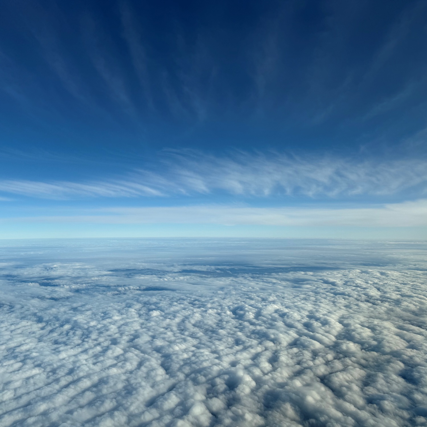
Andrew Milne (Member 66,363) found himself in the big blue between cloud layers as his plane home crossed the border from England into Scotland.
Above him were Cirrus fibratus radiatus: high ice-crystal clouds stretched into long fibrous streaks by strong, steady winds that ease gradually with height. Up there, moisture is scarce and the airflow fast and uniform. The streaks are parallel, but perspective makes them appear to radiate from the horizon, hence the radiatus cloud type. Below, a broad layer of Stratocumulus stratiformis undulatus lay over the land. This is a low-level clumpy cloud that, in its stratiformis form, is spread across the sky. Its gentle wave pattern, the undulatus variety, is caused by wind shear, where winds change more abruptly with altitude.
From his window seat between such different cloud worlds, Andrew got a lesson in how invisible winds shape our visible sky.
